drawing, print, engraving
#
drawing
#
baroque
# print
#
landscape
#
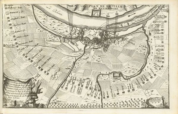
cityscape
#
engraving
Dimensions: height 518 mm, width 589 mm
Copyright: Rijks Museum: Open Domain
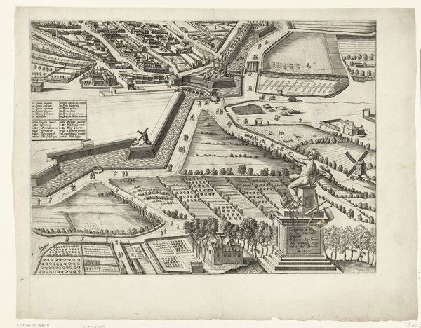
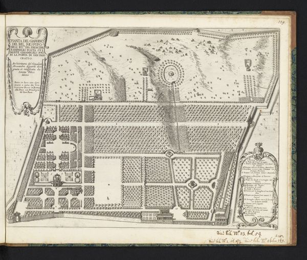
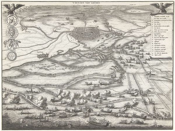
This detailed plan of Rosendael Castle and its surroundings was created by Jan Smit, likely around the late 17th or early 18th century. It's an engraving, meaning the design was incised into a metal plate, inked, and then printed onto paper. What I find fascinating here is the intersection of artistry, craft, and social power. The meticulous detail showcases the engraver's skill, a craft honed through years of practice. But this isn't just art for art's sake. The map served a very specific purpose. It embodies the owner's control over the landscape, dividing the land in a very manicured and orderly manner. Notice how nature is tamed into geometric patterns, and the hunting scene in the lower corner, symbolizing the aristocratic pleasures of the elite. Every line, every carefully rendered tree, speaks to a social hierarchy and the amount of labor needed to build it. The print is less about geographic accuracy and more about communicating dominance. It reminds us that even seemingly practical objects like maps can be powerful statements of social and political power.
Comments
No comments
Be the first to comment and join the conversation on the ultimate creative platform.
More like this