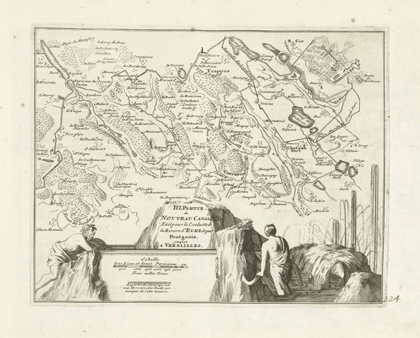
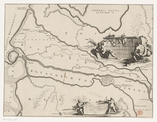
Kaart van het nieuwe kanaal van Pontgouin naar Versailles (deel III), 1726 1726
0:00
0:00
anonymous
Rijksmuseum
drawing, paper, ink, engraving
#
drawing
#
baroque
#
landscape
#
paper
#
ink
#
engraving
Dimensions: height 205 mm, width 263 mm
Copyright: Rijks Museum: Open Domain
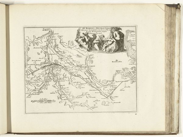
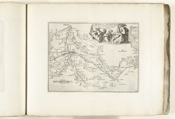
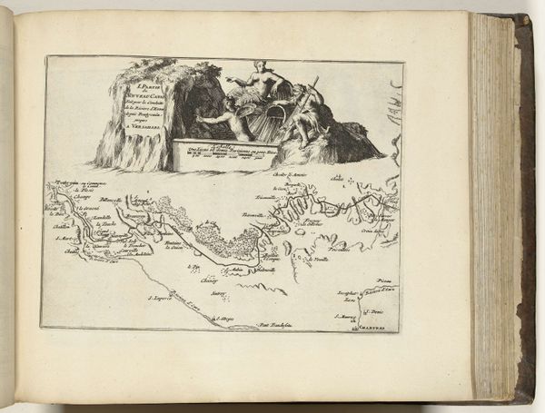
This is part three of a map made in 1726, showing the new canal from Pontgouin to Versailles. It’s an etching, so a reversed image incised into a metal plate, inked, and then printed onto paper. The map offers more than just geographical information. It reveals the cultural and political ambitions of the French monarchy, particularly Louis XV, at this time. Canals weren't just about transportation; they were symbols of power, engineering prowess, and control over nature. The map meticulously details the canal's path, showcasing the surrounding landscapes and settlements, thereby asserting the monarchy’s domain. The inclusion of laborers in the foreground, actively constructing the canal, reinforces this narrative of royal authority and progress through the exploitation of labour. Historical records, such as royal decrees and engineering reports, would give us a better understanding of the social impact of projects like this. Art like this reminds us that every image is shaped by social, economic, and political forces.
Comments
No comments
Be the first to comment and join the conversation on the ultimate creative platform.
More like this