drawing, paper, ink
#
drawing
#
baroque
#
paper
#
ink
#
geometric
#
cityscape
#
history-painting
Dimensions: height 230 mm, width 290 mm
Copyright: Rijks Museum: Open Domain
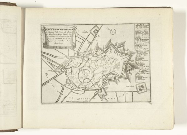
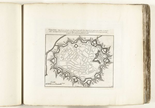
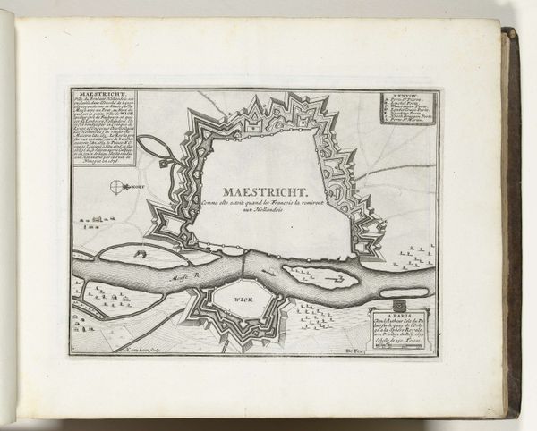
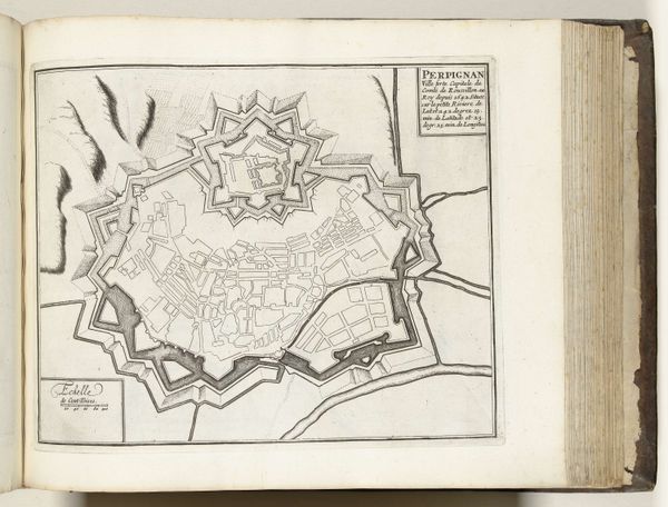
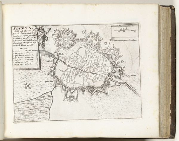
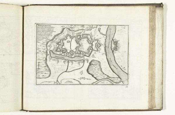
Curator: Before us is a drawing entitled "Plattegrond van Schlettstadt," created anonymously around 1693-1696. The materials are ink on paper, currently held in the Rijksmuseum collection. What strikes you first about this cityscape? Editor: The sheer precision of the linework. There’s a stark, geometric quality—the repeating angles, the careful delineation of space. It’s…clinical, almost. It makes me think about strategic planning, warfare. Curator: Absolutely. The rigid geometry you observe speaks to the Baroque period's obsession with order and control. Notice how the star-shaped fortifications dominate the composition. These bastions weren’t merely functional; they represented power and defense in visual terms. The whole city, encased within that jagged boundary, projects an aura of impregnability. Editor: I’m interested in how the artist used the symbol of a town. Cities, throughout history, symbolize civilization, safety, but also vulnerability, in that, despite our best fortifications, cities have always been invaded and taken over. Curator: The very layout broadcasts the city’s self-image. The river network threading through the composition, labeled 'Inondation,' indicates planned flooding capabilities as a defensive measure. It suggests a proactive approach to warfare. Editor: These features speak to both vulnerability and power, with water having so many layered symbolic implications—both life and death. I wonder about the psychological weight these visual signifiers would carry for the inhabitants and for those viewing the city from the outside. A bird’s eye perspective often symbolizes omnipotence, giving viewers a God-like perception of power over their domain. Curator: Precisely, and the map transcends pure functionality, presenting Schlettstadt not merely as a location but as a statement of civic pride and military readiness. We’re observing, then, a layering of representation. It’s a confluence of function and form—of geometry and power. Editor: Looking at it that way, this image transforms from just a drawing into a mirror of Baroque ideals and anxieties. Curator: A visual testament to a society grappling with the implications of progress and defense, carefully inked onto paper. Editor: It leaves me thinking about how such seemingly objective, measured depictions also operate on an emotional and symbolic level.
Comments
No comments
Be the first to comment and join the conversation on the ultimate creative platform.
More like this