drawing, ink, engraving
#
drawing
#
baroque
#
ink
#
cityscape
#
engraving
Dimensions: height 195 mm, width 222 mm
Copyright: Rijks Museum: Open Domain
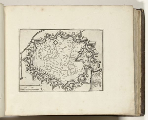
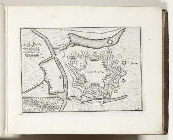
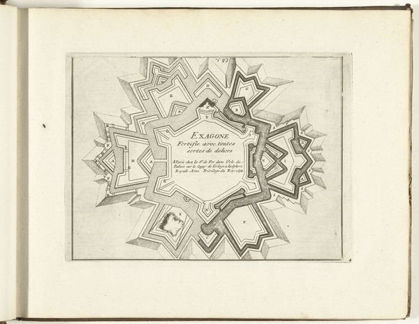
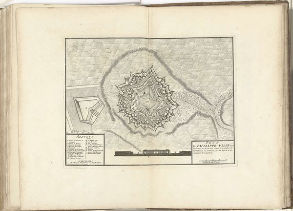
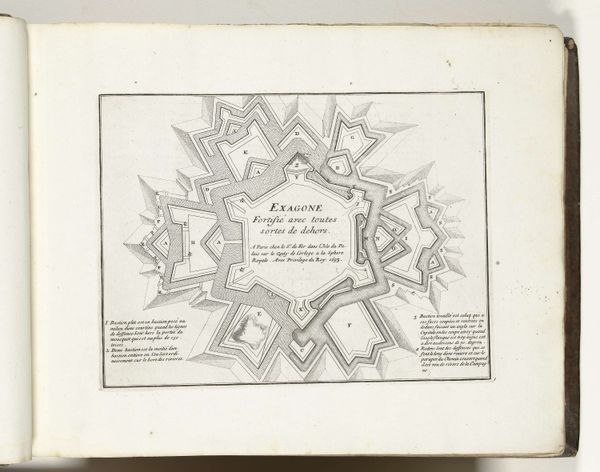
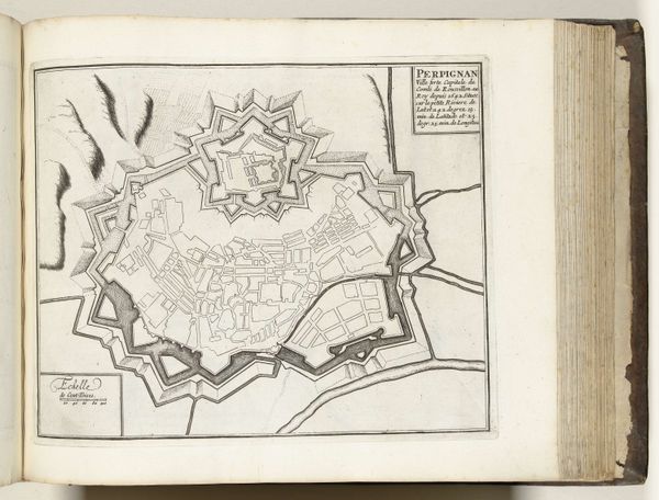
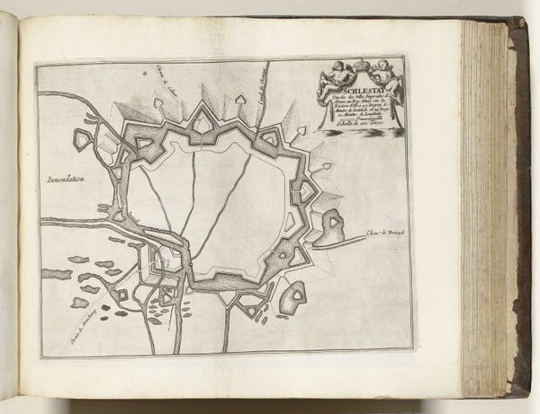
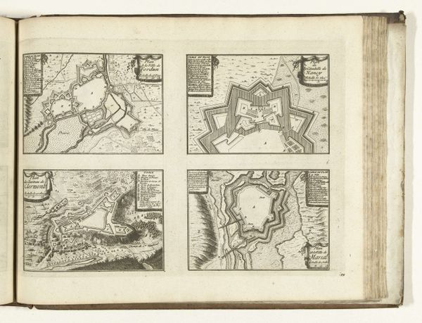
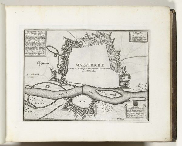
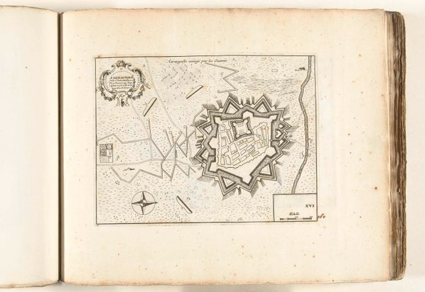
This is Laurens Scherm's "Plattegrond van Vercelli," made around 1702, a bird's-eye view of the fortified city in Italy, rendered as an engraving. The map presents Vercelli not just as a place, but as a strategic stronghold. The star-shaped fortifications, typical of the era, speak volumes about the constant power struggles and military strategies in 18th-century Europe. Scherm's work reflects the influence of military engineering on city planning during a time when territorial control was paramount. What interests me most is how this image highlights the role of cartography as a tool of power. Maps weren't just about navigation; they were about claiming and controlling space. The level of detail suggests that it was made for military or administrative purposes. To truly understand this image, we'd delve into the military history of the region. We would look at the strategies of siege warfare, and the shifting alliances of the period. The study of this engraving allows us to understand the complex interplay of politics, power, and place.
Comments
No comments
Be the first to comment and join the conversation on the ultimate creative platform.
More like this