print, engraving
#
baroque
# print
#
cityscape
#
history-painting
#
engraving
Dimensions: height 477 mm, width 559 mm
Copyright: Rijks Museum: Open Domain
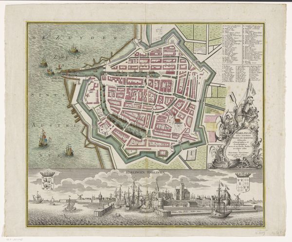
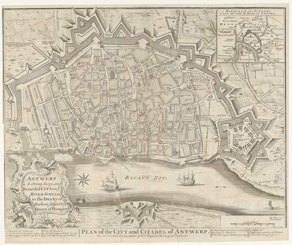
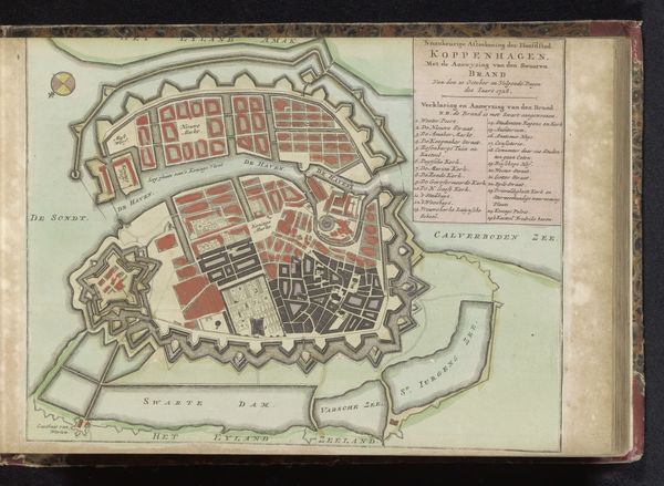
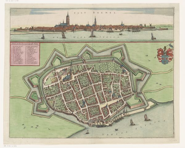
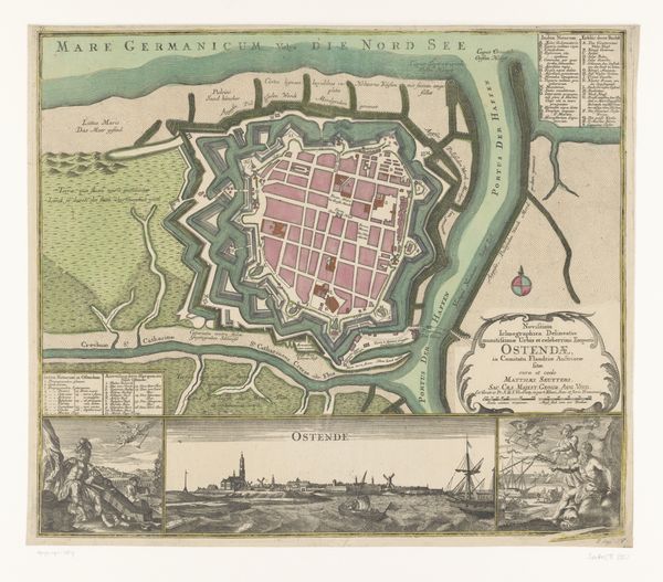
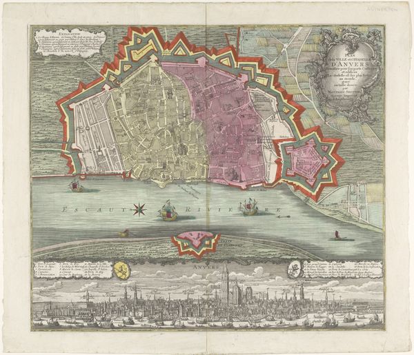
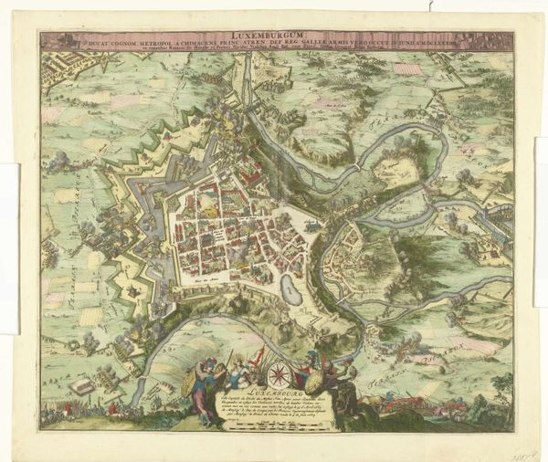
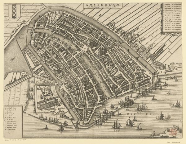
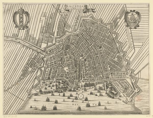
This is an anonymous map of Barcelona, made around 1706. The rendering offers a striking synthesis of spatial orientation and formal design. Notice how the city is colored in hues of red, which starkly contrasts the blues of the ‘Mer Medi Terranee’. What’s remarkable here is the balance between the geometric precision of the city layout and the more organic depiction of the surrounding terrain. The structured grid of Barcelona's streets is juxtaposed against the undulating lines of the sea and fields, creating a visual dialogue between order and nature. The map’s formal design elements are also functional, guiding viewers through the city’s fortifications. Lines represent walls, and shading signifies topography, all working together to inform the viewer about Barcelona’s strategic layout. Even the ships at sea contribute, adding depth to the composition. Maps like these do not merely represent space, they construct it. They reflect the priorities of the time. Understanding the formal elements of this work allows us to engage with the interplay of geometry and fluidity, control and nature, and to consider the cultural and philosophical implications of how space is conceived and presented.
Comments
No comments
Be the first to comment and join the conversation on the ultimate creative platform.
More like this