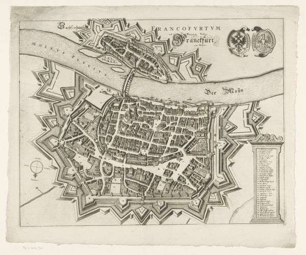
drawing, print, ink, engraving
drawing
baroque
ink
geometric
cityscape
engraving
Dimensions: height 410 mm, width 495 mm
Copyright: Rijks Museum: Open Domain
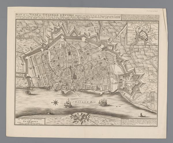
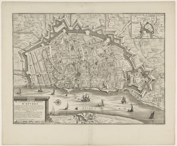
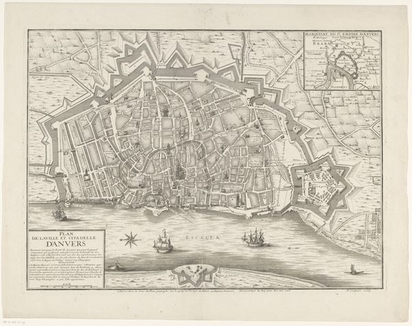
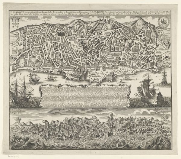
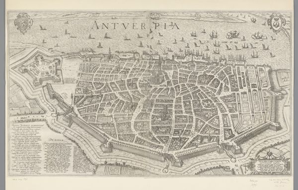
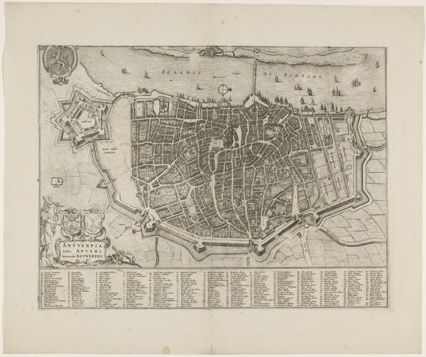
Curator: Isn’t it remarkable how a simple cityscape, such as this 18th-century map of Antwerp by Isaac Basire, made with ink as print on paper, can hold so much history, so much life? Editor: Life planned, managed, surveyed. All I see is strategic control— the gridded streets, the imposing fortifications. Makes me wonder about the social cost of building a city as a military instrument. Curator: Precisely! There’s a human story etched within those lines, don't you think? Can’t you see, in the rigid formality, the echoes of lives lived, trades conducted, perhaps even small rebellions brewing in the alleyways? I always imagine lovers meeting clandestinely under the shadow of these planned developments. Editor: All done using Baroque techniques, you said? Well, the opulence is there in the intricate details—but even then, Baroque was very often at service to an aristocracy to display absolute control. Every choice of material has political meaning, and this isn’t merely celebratory— it’s a territorial statement. Curator: I get you...but isn't there also something deeply aspirational here? Consider how rendering cities this way gives permanence to something ephemeral; a dream turned into a possible reality? For someone who never saw the actual city, its evocation still exists thanks to Basire's rendering. Editor: It does. Although Basire is more involved with its representation, rather than function. Someone, or many people, were involved in its material construction and design: in organizing human labor, redirecting rivers, and quarrying stone. This representation minimizes it, I'd argue. It makes me appreciate these artifacts, as representations, while yearning for their sociohistorical narratives. Curator: I love how a seemingly straightforward city map can be a window into the layered stories we tell ourselves about progress, power, and the enduring, beautiful mess of being human. Editor: Yes— to the messy process behind such refined depictions of place. An entire story is etched into every street.
Comments
No comments
Be the first to comment and join the conversation on the ultimate creative platform.