graphic-art, print, engraving
#
graphic-art
#
baroque
#
dutch-golden-age
# print
#
landscape
#
cityscape
#
engraving
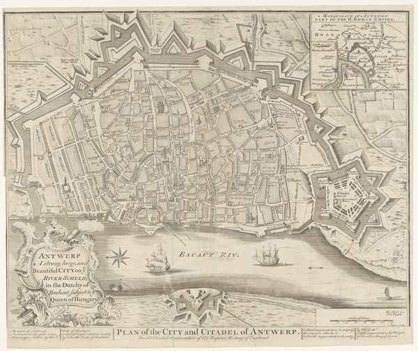
Dimensions: height 505 mm, width 583 mm
Copyright: Rijks Museum: Open Domain
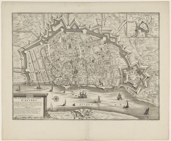
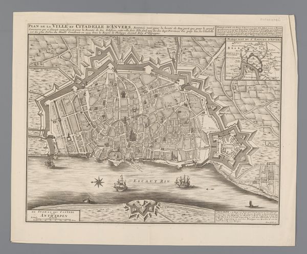
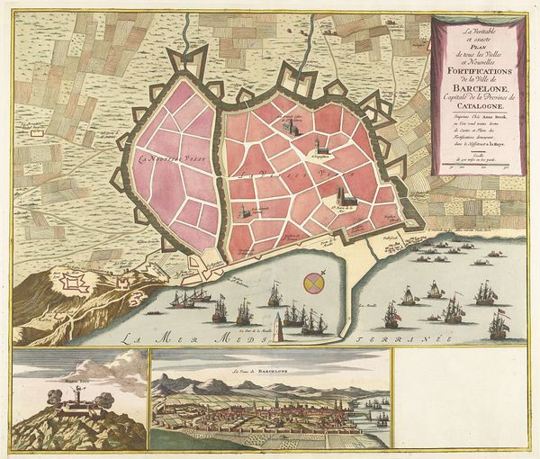
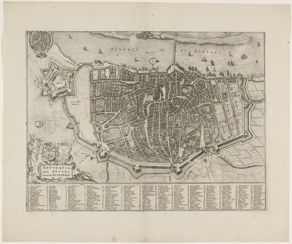
Matthaeus Seutter created this print of Antwerp in the 18th century, demonstrating the city’s urban layout and fortifications. The print is divided into distinct zones, each offering unique visual information. The upper section presents a detailed map featuring a geometric arrangement of streets and buildings, enclosed by star-shaped fortress walls. The city blocks are organized in grid-like patterns. These are colored in muted yellows and pinks, contrasting with the cooler hues of the river. Below, a panoramic view captures the city’s skyline in intricate detail. Ships and boats crowd the river, animating the scene with movement. The composition’s vertical stacking creates a layered effect, inviting the viewer to navigate between the macro and micro perspectives. This print merges cartographic accuracy with artistic representation, reflecting the 18th-century interest in the intersection of science and art. The contrast between the map and skyline invites reflection on the relationship between abstract knowledge and lived experience.
Comments
No comments
Be the first to comment and join the conversation on the ultimate creative platform.
More like this