print, etching, watercolor
# print
#
etching
#
landscape
#
etching
#
watercolor
#
romanticism
#
history-painting
Dimensions: height 592 mm, width 475 mm
Copyright: Rijks Museum: Open Domain
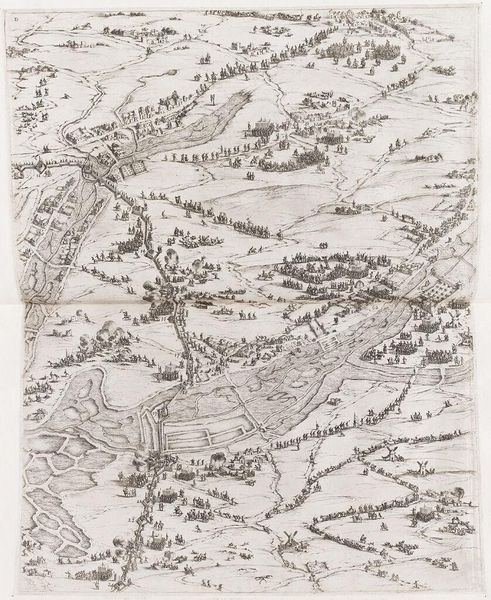
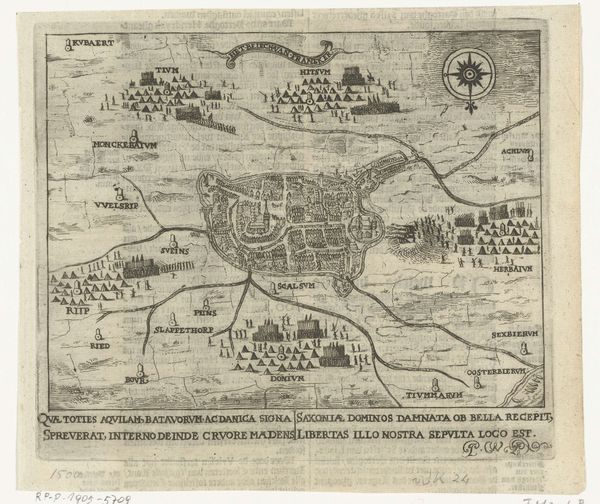
Samuel John Neele created this map and view of the Battle of Waterloo, documenting a pivotal moment in European history when Napoleon's imperial ambitions were defeated. The map presents a bird's-eye view of the battlefield, illustrating the disposition of troops and key geographical features. The visual representation of warfare reduces individual lives to mere data points in service of larger political narratives. The artist attempts to provide a supposedly objective representation of the battle. However, the map simplifies the very real human experiences, as it struggles to convey the sheer chaos, fear, and suffering endured by soldiers and civilians. Consider how this artwork might reflect the broader societal context of the time. The map served as a tool for understanding and memorializing a monumental event that shaped national identities and geopolitical power. It invites us to reflect on how we interpret the visual depictions of conflict and how these representations shape collective memory.
Comments
rijksmuseum over 2 years ago
⋮
This map was published two months after the victory over Napoleon. Different colours have been used to denote the opposing sides. The map’s orderly representation of the battlefield is misleading, for the bloody engagement was fought on a muddy terrain just eight square kilometres in size. After the battle large numbers of prints and maps were published to keep alive the memory of Waterloo.
Join the conversation
Join millions of artists and users on Artera today and experience the ultimate creative platform.
More like this