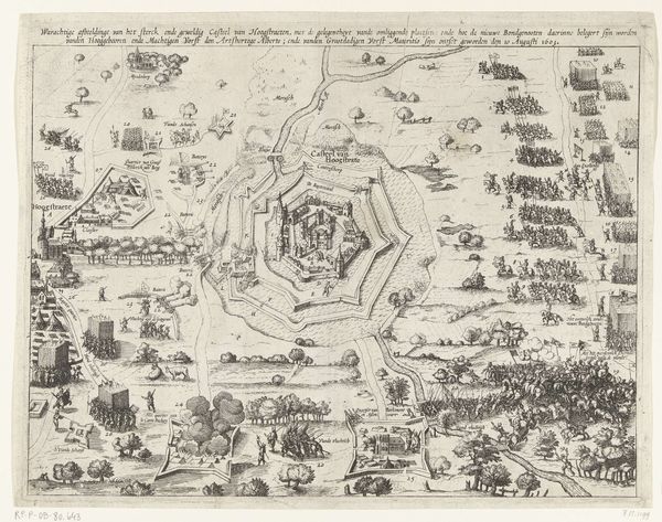
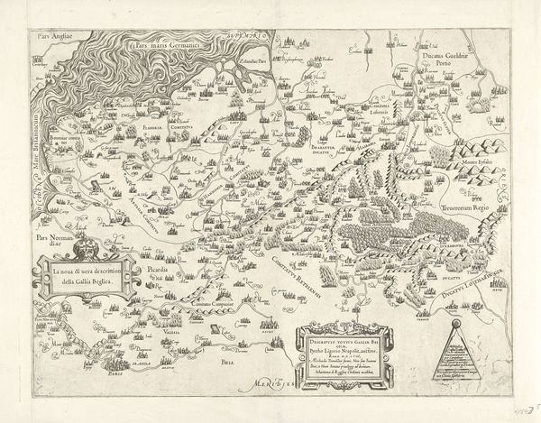
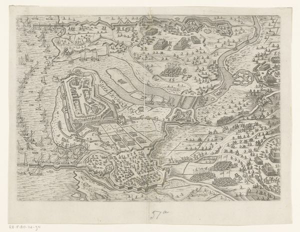
print, etching, engraving
baroque
etching
old engraving style
landscape
cityscape
history-painting
engraving
Dimensions: height 480 mm, width 570 mm
Copyright: Rijks Museum: Open Domain
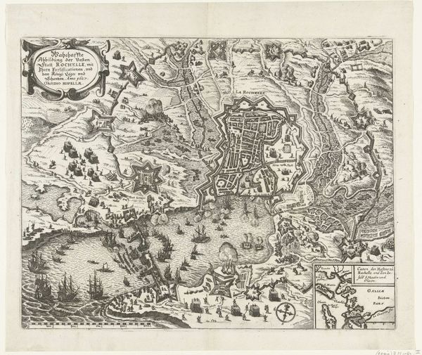
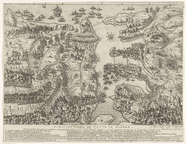
This print, *Ontzet van Toulon*, was made in 1707, and the artist remains unknown. It’s an engraving, meaning it’s made by cutting lines into a metal plate, inking it, and pressing paper against it. Look closely, and you can see a network of fine, precise lines and symbols. The appeal of engraving lies in its reproducibility. You can see the artist's hand in the details, yet this is a functional object, meant to be circulated widely. Engravings like this offer a window into the social context of the time, reflecting the political events of the Siege of Toulon. The labor involved in producing these images speaks to the rise of print culture and its role in shaping public perception. Consider how the engraver’s skills, honed over time, intersect with the practical demands of communication. The finished print bridges fine art and the world of information.
Comments
No comments
Be the first to comment and join the conversation on the ultimate creative platform.