drawing, paper, ink, engraving
#
drawing
#
baroque
#
paper
#
ink
#
geometric
#
cityscape
#
engraving
Dimensions: height 228 mm, width 286 mm
Copyright: Rijks Museum: Open Domain
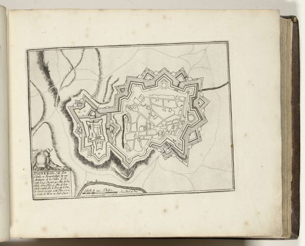
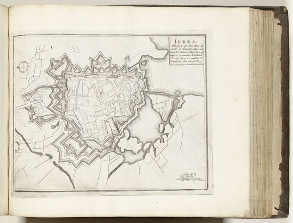
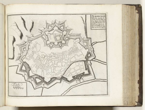
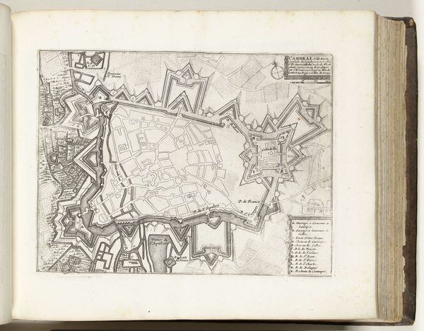
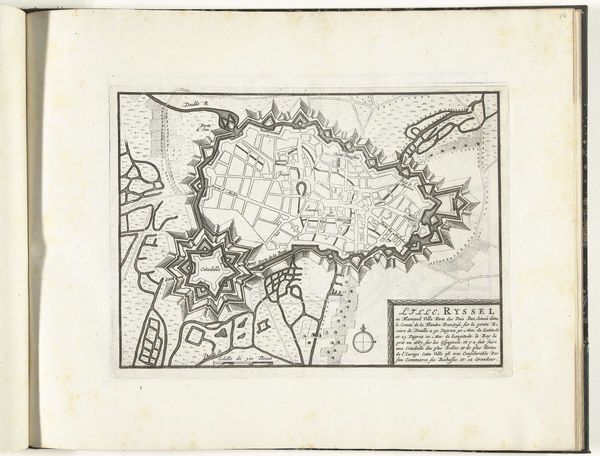
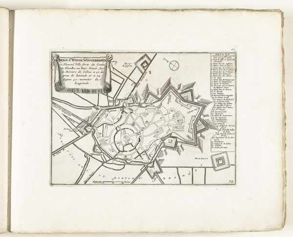
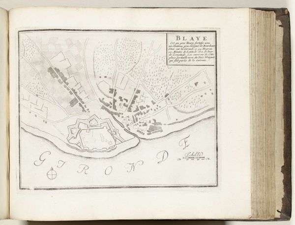
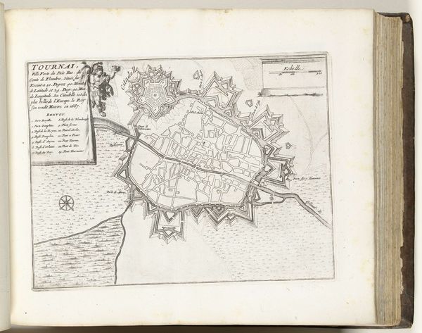
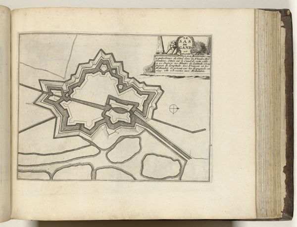
This is an anonymous etching from around 1693 to 1696, titled ‘Plattegrond van Toulon’ or ‘Map of Toulon.’ It depicts the French military port city located on the Mediterranean coast. Consider the late 17th century, a period marked by intense geopolitical rivalry among European powers. Maps weren't just geographical tools, they were strategic assets, reflecting and reinforcing power dynamics. Cartography, like this one, served the state's military and economic interests. We see the city meticulously rendered, its fortifications, docks, and urban layout reflecting the control of the French monarchy under Louis XIV. Yet, what remains unseen are the lives of the inhabitants: the laborers, sailors, and merchants whose daily lives were shaped by the city’s military function. This map embodies a tension between the desire for order and control and the messy, lived realities of urban life. It invites us to consider whose perspectives are privileged in the making of history.
Comments
No comments
Be the first to comment and join the conversation on the ultimate creative platform.
More like this