print, engraving
baroque
pen illustration
old engraving style
geometric
cityscape
decorative-art
engraving
Dimensions: height 401 mm, width 546 mm
Copyright: Rijks Museum: Open Domain
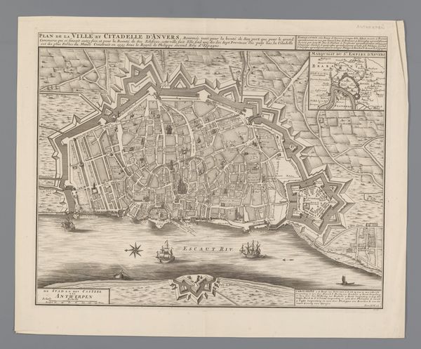
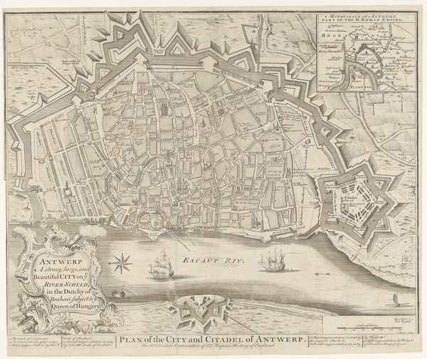
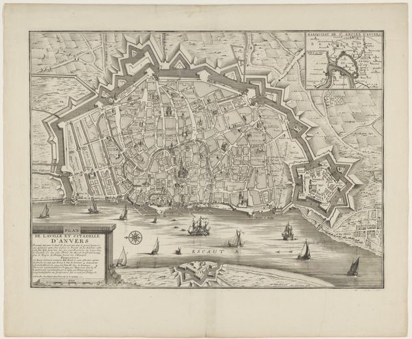
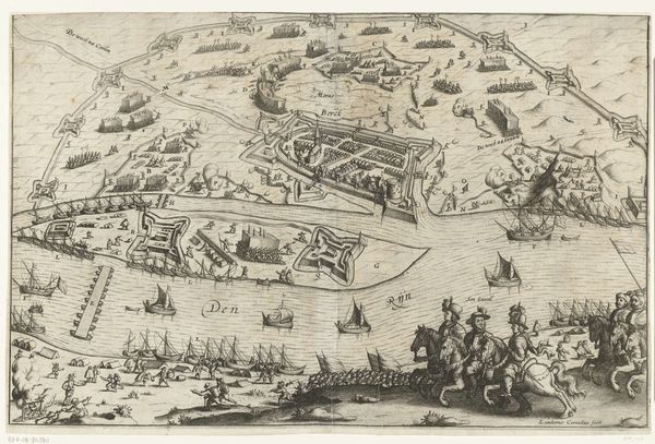
Antoine Coquart's "Plattegrond van Antwerpen" provides an intriguing snapshot of the city in a time of transformation. This detailed map offers more than just geographical data; it reflects Antwerp's social, political, and military landscape. Note the star-shaped citadel strategically positioned along the river. These were a symbol of military power, designed to control the city and its access to trade routes. The map underscores the importance of Antwerp as a strategic port and commercial hub, but it also betrays a history of conflict and occupation. Understanding the historical context of such an image requires a bit of digging. Archival records, period documents, and studies of urban development can reveal how maps like these served both practical and ideological purposes. "Plattegrond van Antwerpen" reminds us that art and cartography often intersect with power, shaping our understanding of place and belonging.
Comments
No comments
Be the first to comment and join the conversation on the ultimate creative platform.