drawing, paper, ink
#
drawing
#
baroque
#
pen sketch
#
sketch book
#
landscape
#
paper
#
personal sketchbook
#
ink
#
ink drawing experimentation
#
pen-ink sketch
#
pen and pencil
#
pen work
#
sketchbook drawing
#
cityscape
#
storyboard and sketchbook work
#
sketchbook art
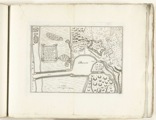
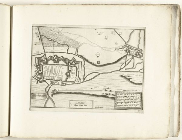
Dimensions: height 197 mm, width 271 mm
Copyright: Rijks Museum: Open Domain
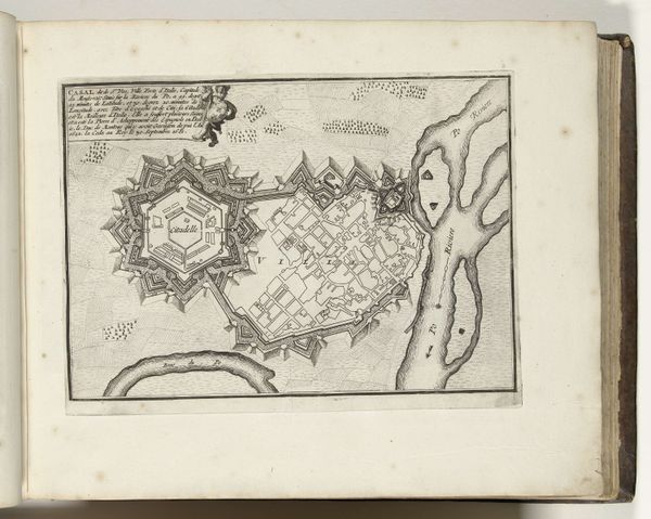
This map of Ambleteuse, dating from around 1693 to 1695, was made by an anonymous artist. It is an engraving, likely printed on paper. The fine lines and details suggest that it was created using a sharp tool to cut into a metal plate, which was then inked and pressed onto the page. The process itself is tied to a wider culture of exploration, military strategy, and territorial claim. The very act of mapping implies a desire for control and an assertion of power. Consider the labor involved in creating such a detailed image. It's a product of both artistic skill and technical expertise. We can appreciate the craft involved in translating a three-dimensional space onto a two-dimensional surface, as well as the social context of the late 17th century, where cartography was essential for trade and warfare. By emphasizing materials, making, and context, we understand that even a simple map can challenge distinctions between fine art and craft.
Comments
No comments
Be the first to comment and join the conversation on the ultimate creative platform.
More like this