drawing, print, paper, ink
#
drawing
# print
#
old engraving style
#
landscape
#
paper
#
ink
#
history-painting
#
academic-art
Dimensions: height 282 mm, width 542 mm
Copyright: Rijks Museum: Open Domain
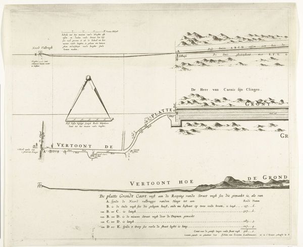
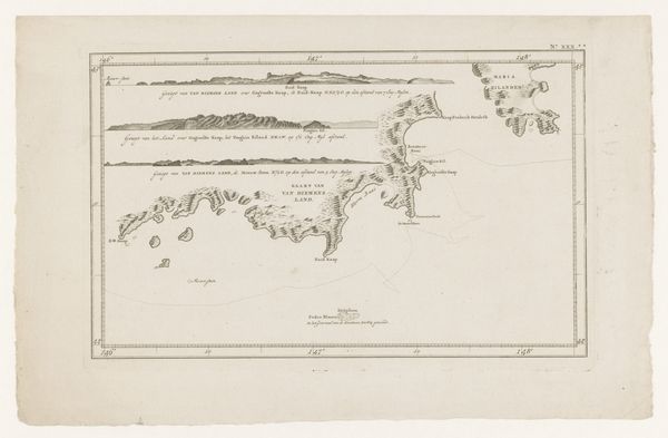
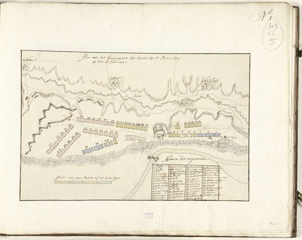
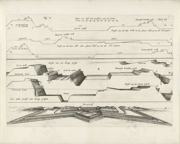
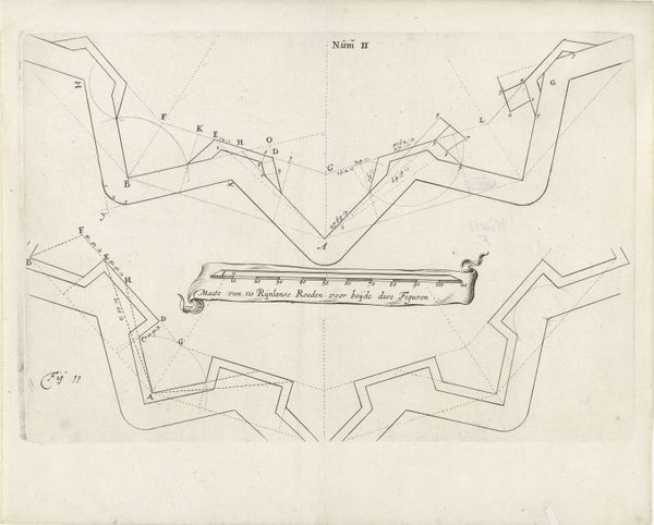
Curator: Here at the Rijksmuseum, we have this intriguing print titled "Kaart van de landingsplaat van de Britse troepen, 1799," attributed to Steuerwald & Co., and believed to have been created between 1830 and 1832. It's rendered in ink on paper. Editor: It's deceptively quiet. From a distance, it just appears to be a detailed coastal map but as you examine the precise lines, you understand the drawing captures the silent prelude to invasion, or maybe its aftermath. There’s a subtle tension in its calm depiction of a military maneuver. Curator: Exactly. What strikes me is how this print, appearing decades after the actual event, underscores the lasting impact of these historical moments. It meticulously documents the landing spots of British troops during a specific operation in 1799. Note the academic style, aiming for precise representation. Editor: And think about who is commissioning and viewing this kind of work years later. It's more than just a historical document; it’s about constructing and perpetuating a particular narrative of power and national identity. Whose stories get told, and from what perspective? Curator: That’s an astute point. Consider how these images play a role in solidifying the nation's historical consciousness. There's a sense of almost clinical detachment in how it depicts potential sites of conflict. Editor: And it completely sanitizes the human cost of war. We need to remember the lives affected, the communities disrupted. Who are the silent witnesses written out of this historical record? The drawing really puts the political consequences into sharp focus. Curator: I concur; art's social function extends to the ways history is perceived and presented. Editor: Indeed, understanding the artwork’s context empowers us to critically question the narratives presented. By examining pieces such as "Kaart van de landingsplaat van de Britse troepen, 1799" we illuminate the complexities and silences embedded within history itself.
Comments
No comments
Be the first to comment and join the conversation on the ultimate creative platform.
More like this