print, ink, engraving
#
dutch-golden-age
# print
#
pen sketch
#
ink
#
geometric
#
engraving
Dimensions: height 231 mm, width 278 mm
Copyright: Rijks Museum: Open Domain
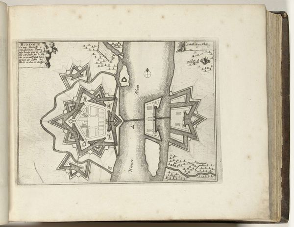
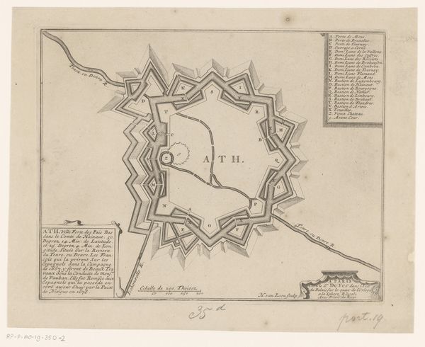
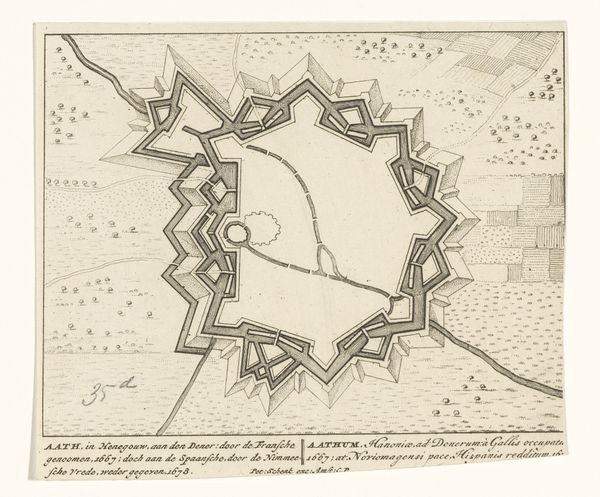
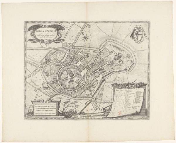
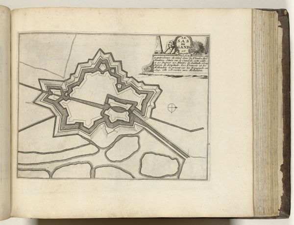
This Vestingplattegrond van Sas van Gent is an undated, unsigned engraving now held at the Rijksmuseum. As an architectural rendering, it reflects a period of intense territorial conflict and military strategy in Europe. We can appreciate how cartography was not just a tool for navigation, but also an instrument of power. Note the geometric precision of the fortress, its star-shaped layout designed to maximize defensive capabilities. In the absence of the artist's identity, we might consider who had the power to commission and disseminate such images. What did it mean for civilians living in this city? This engraving reminds us that every map is a constructed perspective, reflecting the values and priorities of its creators. Sas van Gent was strategically important, it was also someone's home. Consider the human stories embedded within these lines and angles.
Comments
No comments
Be the first to comment and join the conversation on the ultimate creative platform.
More like this