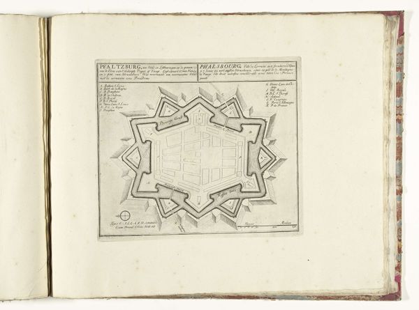
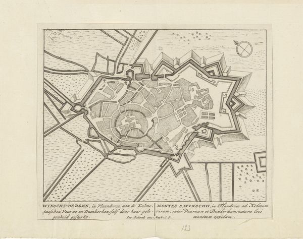
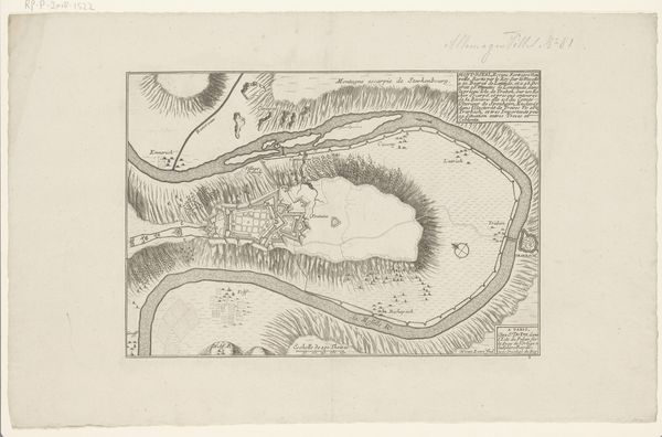
drawing, print, ink, engraving
#
drawing
# print
#
old engraving style
#
ink
#
geometric
#
cityscape
#
engraving
Dimensions: height 165 mm, width 196 mm
Copyright: Rijks Museum: Open Domain
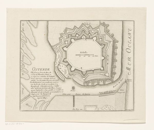
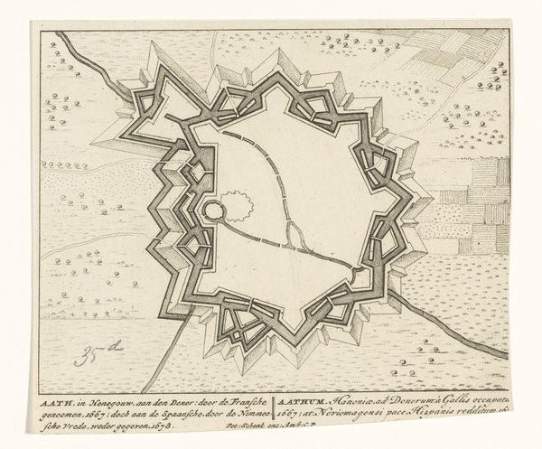
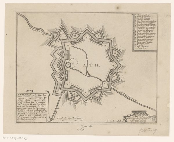
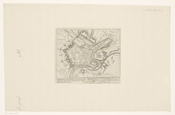
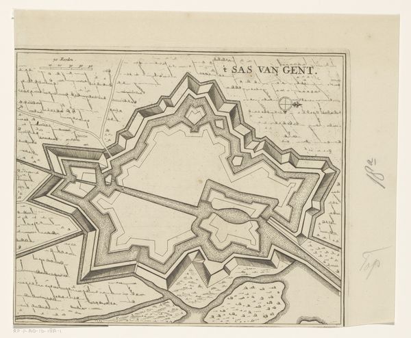
This anonymous engraving, titled Vestingplattegrond van Oostende, offers a bird’s eye view of Ostend, a city in Flanders. The map provides a snapshot of the socio-political landscape of the time. The artwork illustrates Ostend under siege by Spanish forces in 1604. This historical context speaks volumes about identity, territorial disputes, and power struggles of the era. The representation of Ostend as a fortified city underscores the constant state of alert and defense experienced by its inhabitants, whose lives were shaped by these conflicts. The map is from a series of images that represent political events; the identity of the cartographer is less important than the events being depicted. As we consider Vestingplattegrond van Oostende, we are reminded of the emotional toll of war and the ways in which these conflicts shaped personal and collective identities.
Comments
No comments
Be the first to comment and join the conversation on the ultimate creative platform.
More like this