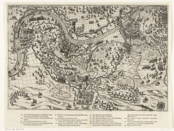
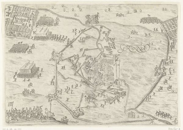
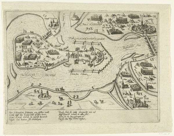
Kaart van het beleg van Sluis door het Staatse leger onder Maurits, 1604 1604
0:00
0:00
anonymous
Rijksmuseum
print, ink, engraving
#
baroque
# print
#
ink
#
cityscape
#
history-painting
#
engraving
Dimensions: height 228 mm, width 320 mm
Copyright: Rijks Museum: Open Domain
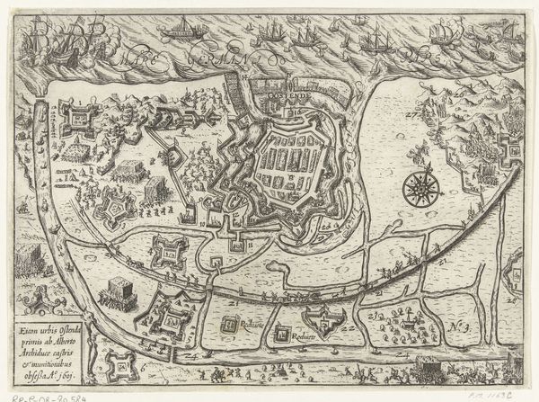
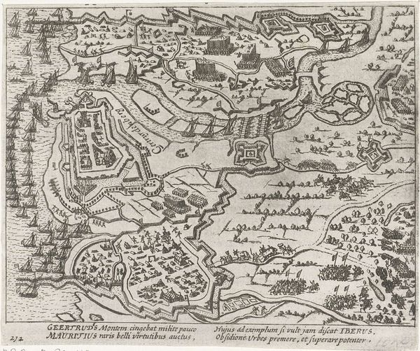
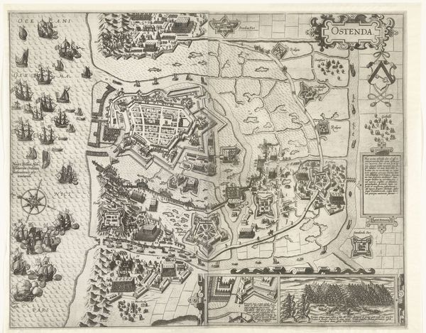
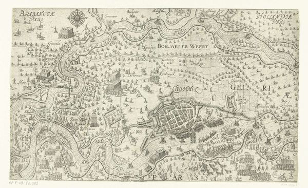
This is an anonymous map, made in 1604, illustrating the siege of Sluis by the Dutch army under the command of Maurits. The map offers a bird's-eye view of the siege, meticulously detailing troop movements, fortifications, and naval deployments. Created during the Eighty Years' War, this image highlights the prevailing political and military strategies of the time. It vividly portrays the conflict between the Dutch Republic and the Spanish Empire, reflecting the social conditions that shaped artistic production in the Netherlands. The map's iconography, with its detailed depiction of military formations, ships, and fortifications, embodies the institutional structures of warfare. The image is not merely a representation of a specific event but a commentary on the larger social and political dynamics of 17th-century Europe. Historians use maps and other visual resources as crucial sources for understanding the social, cultural, and institutional contexts of past events, enabling deeper insights into the complex interplay between art, society, and power.
Comments
No comments
Be the first to comment and join the conversation on the ultimate creative platform.
More like this