drawing, print, paper, ink, engraving
#
drawing
#
baroque
# print
#
paper
#
ink
#
geometric
#
pen-ink sketch
#
cityscape
#
engraving
Dimensions: height 211 mm, width 280 mm
Copyright: Rijks Museum: Open Domain
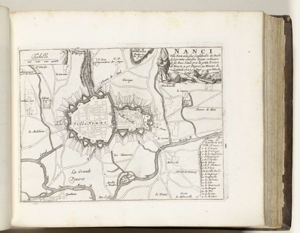
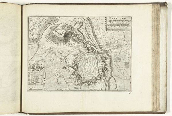
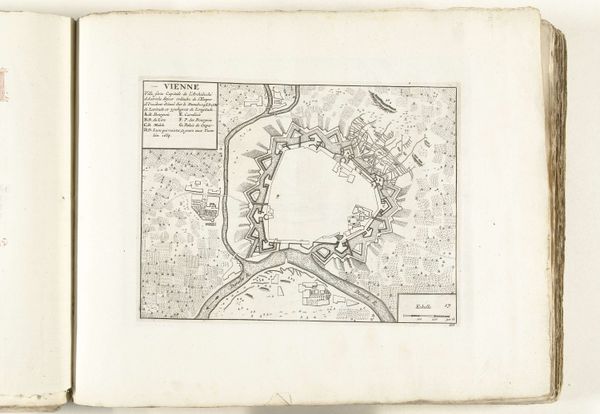
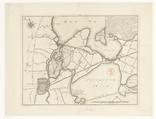
This is an anonymous print from 1726 showing a map of Nancy, now in the Rijksmuseum collection. It's made by engraving lines into a copper plate, then inking that plate to transfer the image onto paper. Maps like this were luxury items, a way for elites to envision and even possess territory. The sharp lines denote ownership and control. The process speaks to its time. Engraving was a highly skilled trade, demanding years of apprenticeship and membership in a guild. These artisans saw themselves as distinct from other kinds of laborers. The map is fascinating in its capacity to render physical space into precise, abstract form. This was, in a sense, the beginning of modern urban planning and the kind of rationalized thinking that made industrialization possible. By looking closely at the materials and processes used to create this map, we can appreciate its role in shaping social and political power. It's a reminder that even seemingly objective representations are deeply embedded in the world of labor and production.
Comments
No comments
Be the first to comment and join the conversation on the ultimate creative platform.
More like this