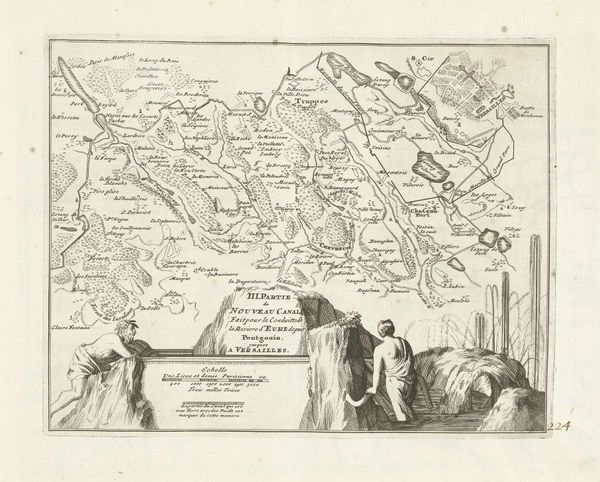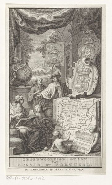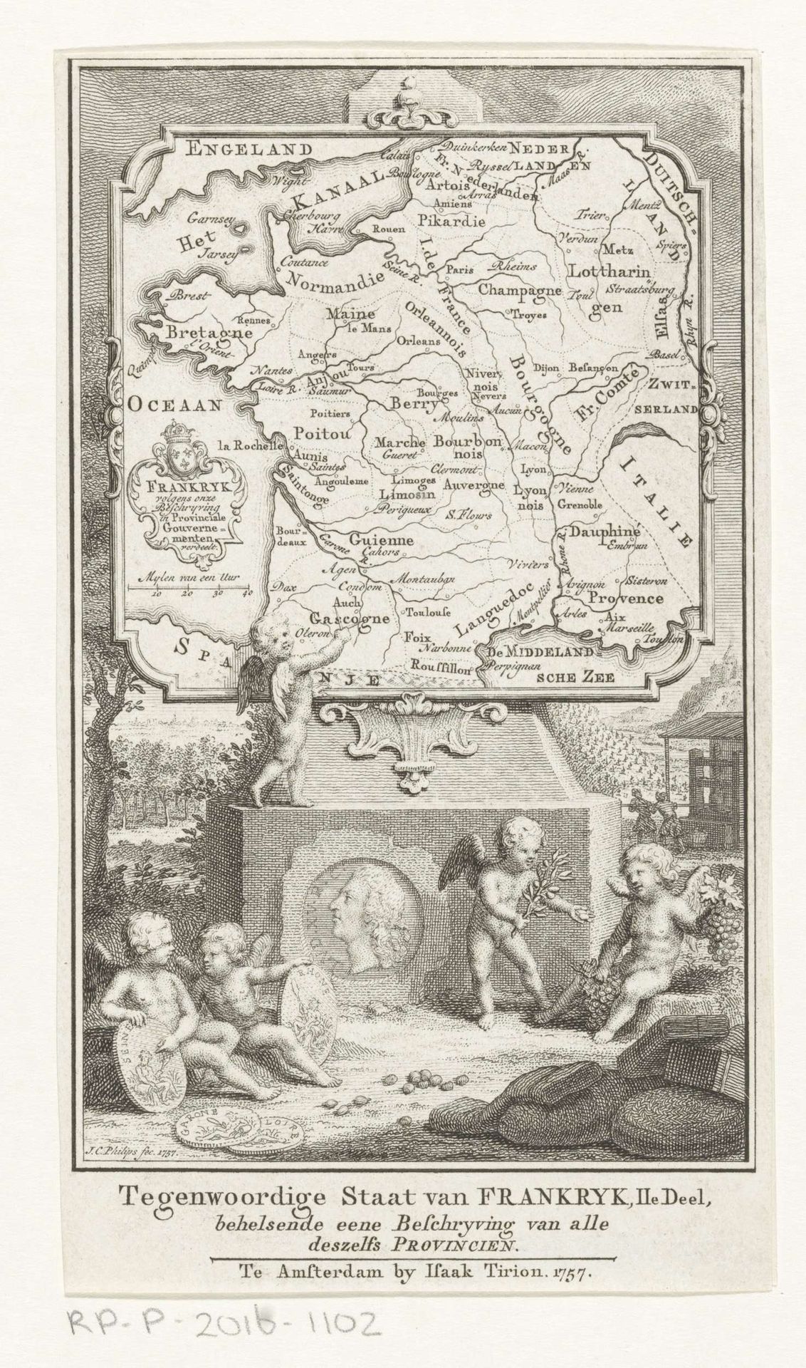
1757
Kaart van Frankrijk
Jan Caspar Philips
1700 - 1775Location
RijksmuseumListen to curator's interpretation
Curatorial notes
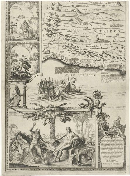
This map of France, made in 1757 by Jan Caspar Philips, is an etching. It offers us a glimpse into how national identity was constructed and disseminated in the 18th century. Maps like this one weren’t just about geographical accuracy. They were powerful tools for shaping perceptions of a nation, both for its own citizens and for others. Note how the map is framed by allegorical figures and symbols. This is a visual code that elevates France, associating it with prosperity and cultural achievement. The cherubs, for example, are not just decorative; they evoke a sense of divine favor and historical continuity. Produced in Amsterdam, this map reflects the Dutch Republic's keen interest in the political and economic landscape of its neighbors. By studying such images alongside other historical documents, we can understand the complex interplay of politics, commerce, and cultural exchange that defined the period.