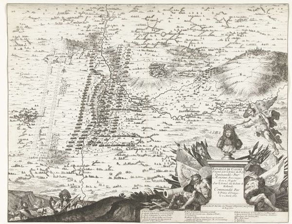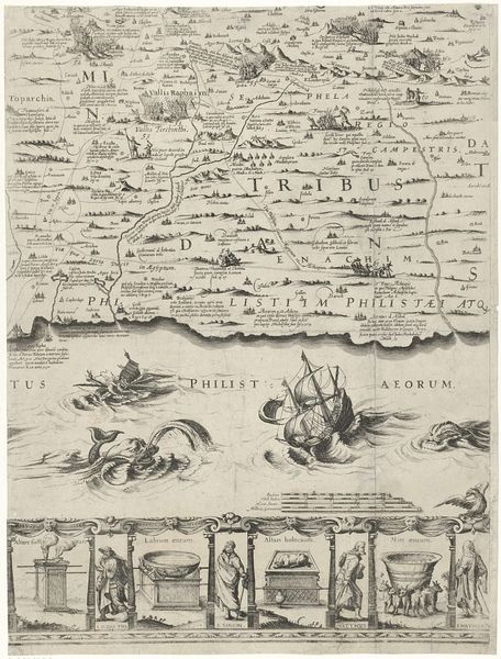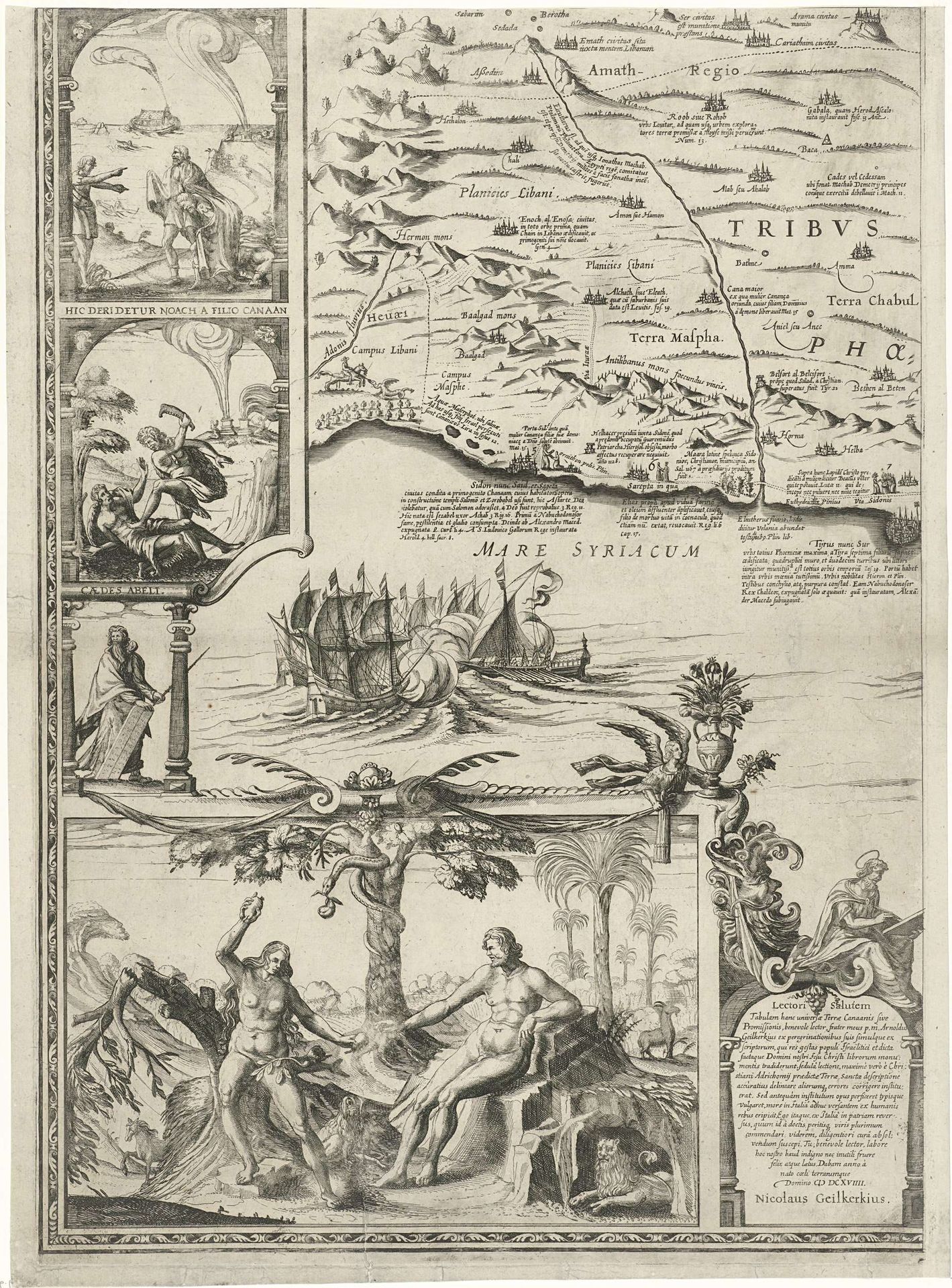
About this artwork
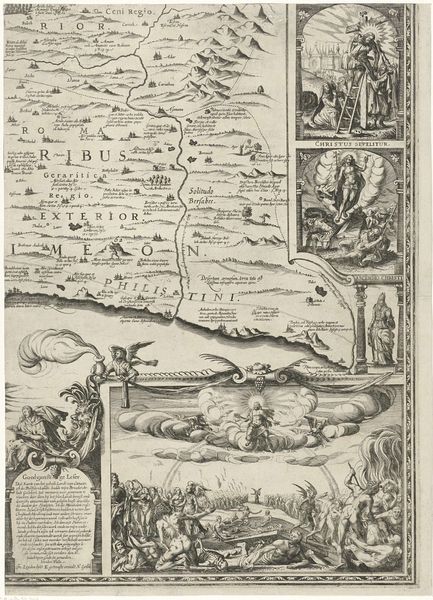
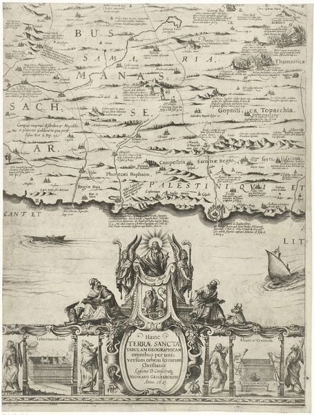
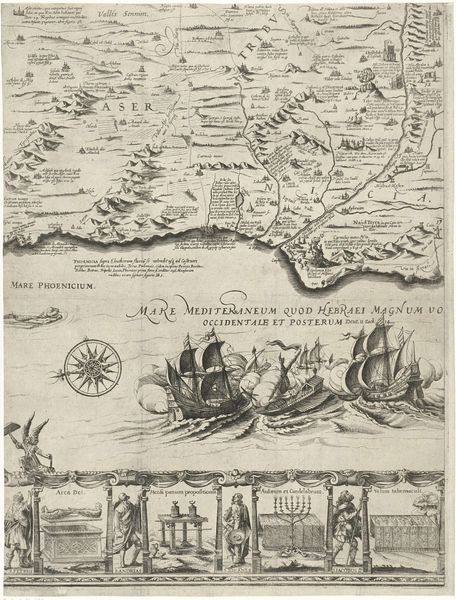
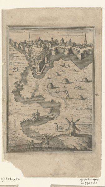
Nicolaes van Geelkercken made this ‘Kaart van Palestina’ without a date, which is currently held at the Rijksmuseum. The image’s strength lies in its composition, structured through the interplay of its cartographic elements, the illustrative scenes, and decorative borders. Notice how the map itself is rendered with fine lines to depict topographical details, while the sea is enlivened with ships, giving it a sense of depth. The use of symbolic vignettes—like the expulsion from Eden—frames the geographic data within a broader narrative. This blending of scientific observation with biblical stories creates a discourse that engages with how the contemporary viewer might interpret not only the physical space of Palestine but also its spiritual significance. Consider the way the artist used these visual devices to challenge a fixed, empirical reading, transforming the map into a medium for exploring themes of history, morality, and spatial perception.
Artwork details
- Medium
- drawing, print, ink, pen, engraving
- Dimensions
- width 393 mm, height 548 mm
- Location
- Rijksmuseum
- Copyright
- Rijks Museum: Open Domain
Tags
pen and ink
drawing
pen drawing
dutch-golden-age
landscape
figuration
ink
pen
history-painting
engraving
Comments
No comments
About this artwork
Nicolaes van Geelkercken made this ‘Kaart van Palestina’ without a date, which is currently held at the Rijksmuseum. The image’s strength lies in its composition, structured through the interplay of its cartographic elements, the illustrative scenes, and decorative borders. Notice how the map itself is rendered with fine lines to depict topographical details, while the sea is enlivened with ships, giving it a sense of depth. The use of symbolic vignettes—like the expulsion from Eden—frames the geographic data within a broader narrative. This blending of scientific observation with biblical stories creates a discourse that engages with how the contemporary viewer might interpret not only the physical space of Palestine but also its spiritual significance. Consider the way the artist used these visual devices to challenge a fixed, empirical reading, transforming the map into a medium for exploring themes of history, morality, and spatial perception.
Comments
No comments