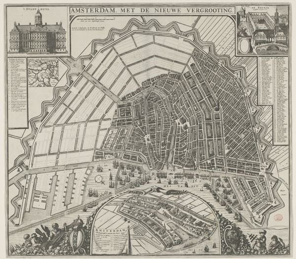
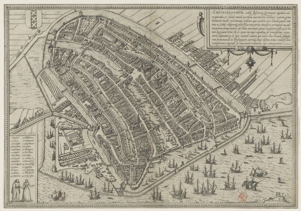
Plattegrond van Amsterdam met argumenten voor bouw nieuwe kerk Possibly 1662 - 1695
0:00
0:00
pieterhendrickszschut
Rijksmuseum
drawing, print, pen, engraving
#
drawing
#
pen drawing
#
dutch-golden-age
#
mechanical pen drawing
# print
#
pen illustration
#
pen
#
cityscape
#
engraving
Dimensions: height 491 mm, width 579 mm, height 76 mm, width 245 mm
Copyright: Rijks Museum: Open Domain
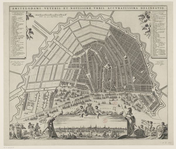
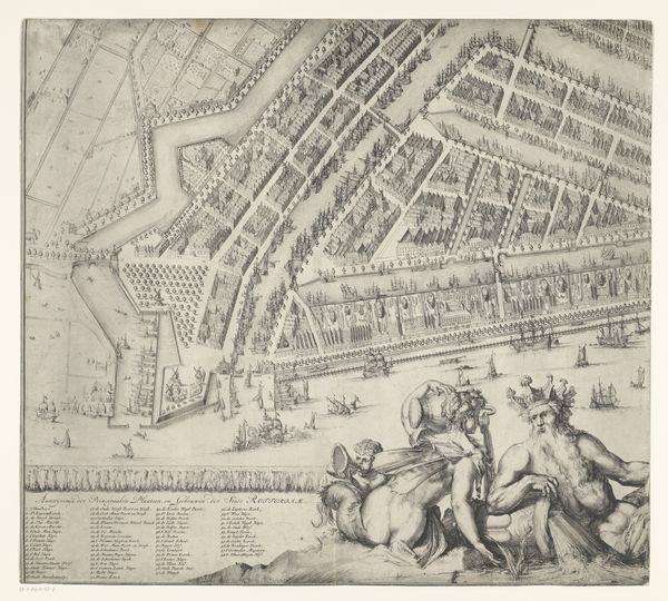
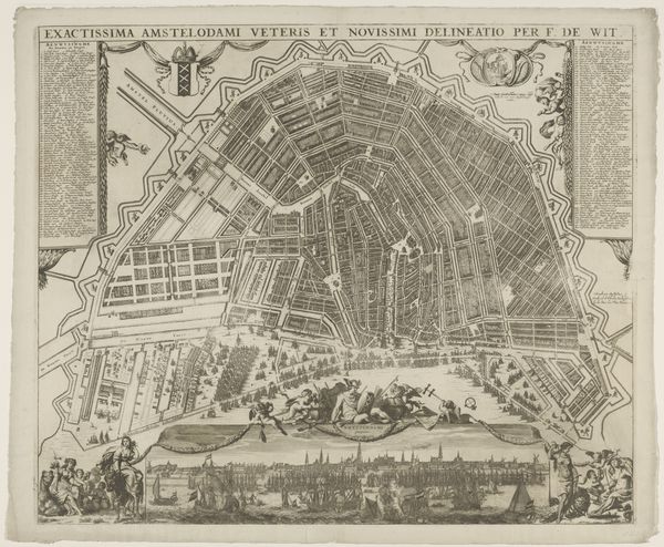
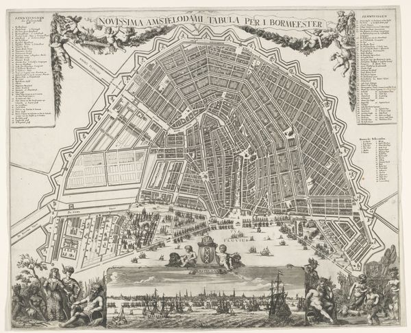
This is a map of Amsterdam, etched in the mid-17th century by Pieter Hendricksz. Schut. The process of etching involves coating a metal plate with wax, scratching an image into the wax, then bathing the plate in acid, which bites away the exposed metal. Ink is then applied to the plate, and paper pressed against it. The result here is an incredibly detailed depiction of a bustling metropolis. The sharp lines of the etching medium lend themselves perfectly to capturing the city’s grid-like structure. We see the canals that were so crucial for trade, each building rendered with care. But this isn’t just a neutral record. Look closely, and you’ll see an argument being made – literally, “argumenten voor bouw nieuwe kerk,” or arguments for building a new church. Maps were not just documentary; they were tools of persuasion, used to shape the built environment. It's a powerful reminder that even seemingly objective forms of representation are deeply embedded in social and political contexts. The making of this map involved skilled labor, specialized knowledge, and a clear agenda.
Comments
No comments
Be the first to comment and join the conversation on the ultimate creative platform.
More like this