drawing, print, pen, engraving
drawing
baroque
pen illustration
old engraving style
pen
cityscape
engraving
Dimensions: height 225 mm, width 287 mm
Copyright: Rijks Museum: Open Domain
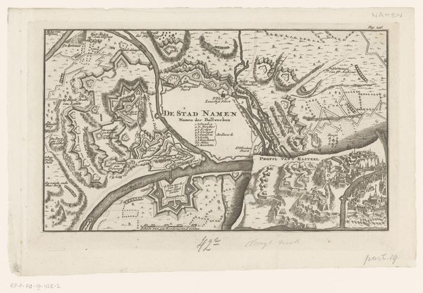
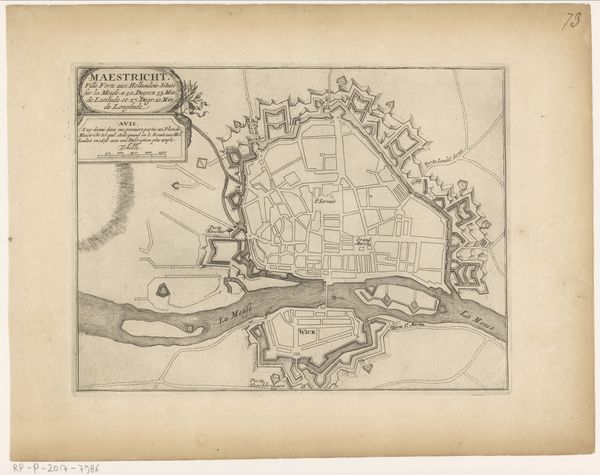
This is an anonymous vesting map of Namur, made at an unknown date with engraving. Namur's story, marked by sieges and conquests, unfolds in this map. It's not just lines on paper; it reflects power struggles and shifting boundaries in the 17th century. The map exposes a deeply gendered dimension, where the city itself is feminized as a territory to be won. The capture of Namur, as proudly noted on the map, was by the King over the Spanish in June 1692. This capture represents a victory of masculine authority, shaping not only the land, but also the lives of its inhabitants. Note how the meticulous detail given to military fortifications contrasts with the more generalized depiction of civilian areas, underscoring a society structured around war and male dominance. As you consider this Vestingplattegrond van Namen, think about the stories etched into its lines, the lives shaped by conflict, and how these historical narratives continue to resonate in our present.
Comments
No comments
Be the first to comment and join the conversation on the ultimate creative platform.