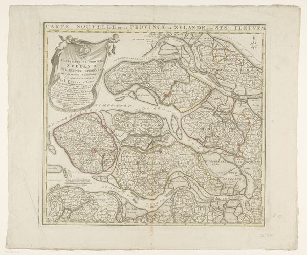
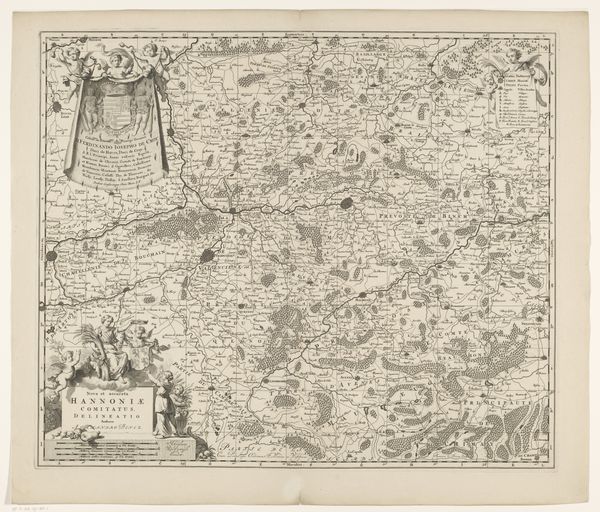
drawing, print, paper, ink, engraving
#
drawing
#
baroque
# print
#
pen illustration
#
landscape
#
paper
#
ink
#
pen-ink sketch
#
sketchbook drawing
#
cityscape
#
engraving
Dimensions: height 419 mm, width 510 mm
Copyright: Rijks Museum: Open Domain
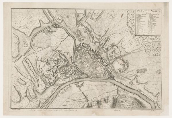
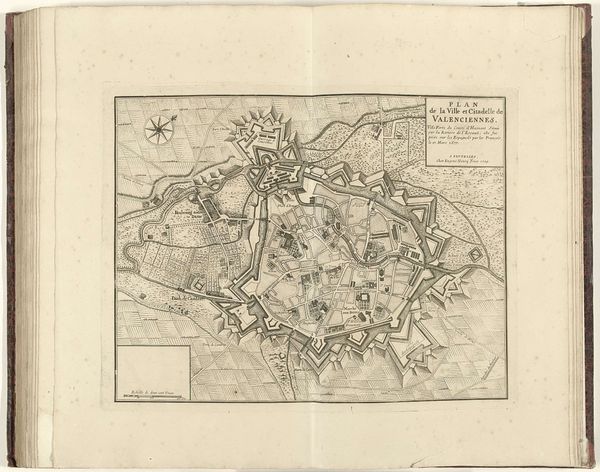
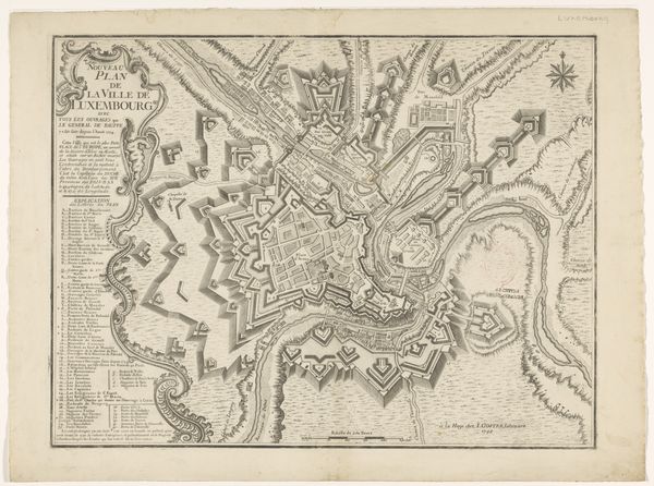
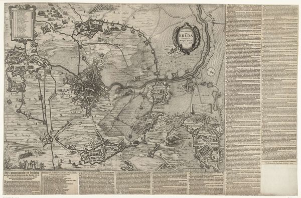
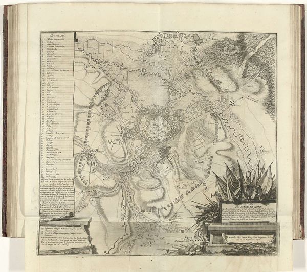
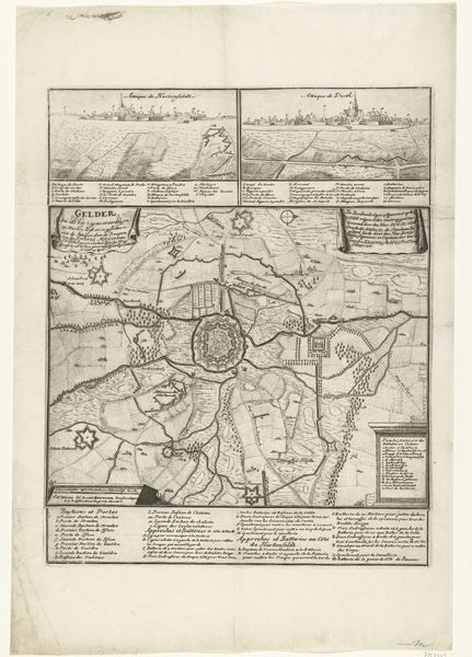
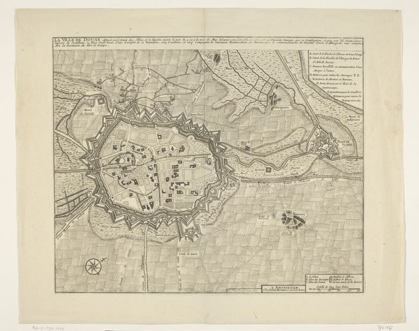
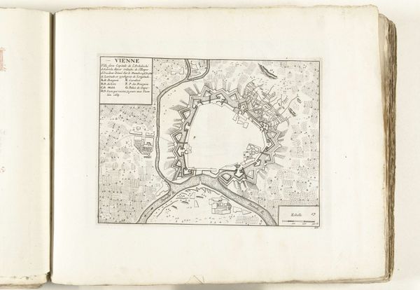
This anonymous map, "Kaart van de omgeving van Doornik," meticulously details the area around Tournai. At its heart, the walled city appears as a fortified nexus, a symbol of protection. Notice the radiating lines of roads and rivers—lifelines connecting the city to its surroundings, echoing the ancient Roman concept of the 'urbs' and 'ager,' the city and its territory. This motif transcends mere geography, becoming a visual representation of power and influence, much like the spokes of a wheel emanating from a central hub. In the Renaissance, we see this motif of centralized planning in cityscapes, projecting an image of order and control, a sort of projection of social and political harmony. The map whispers of our collective desire for control, a desire rooted deep in the psyche. The ordering of the landscape reflects a subconscious need to tame the unknown, a force as old as civilization itself. This visual language reminds us that even in cartography, the human need to structure, organize, and ultimately control our environment persists across time.
Comments
No comments
Be the first to comment and join the conversation on the ultimate creative platform.
More like this