About this artwork
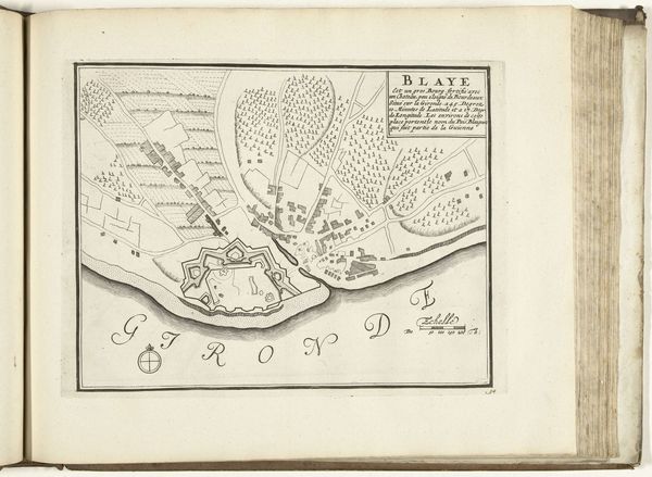
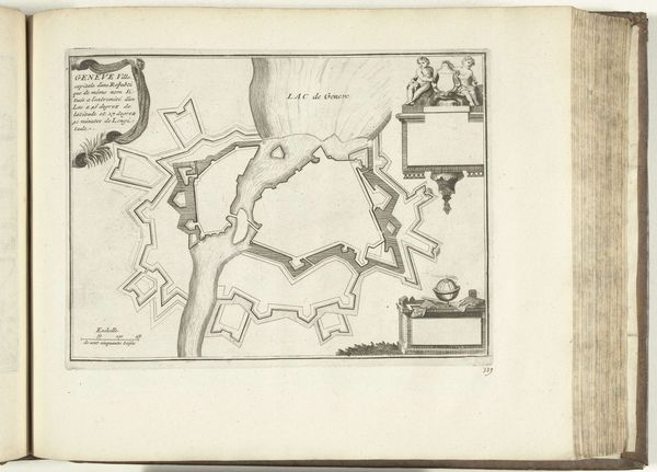
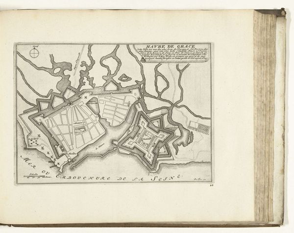
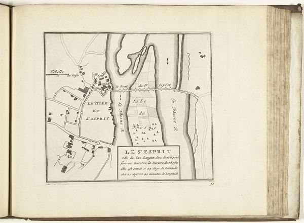
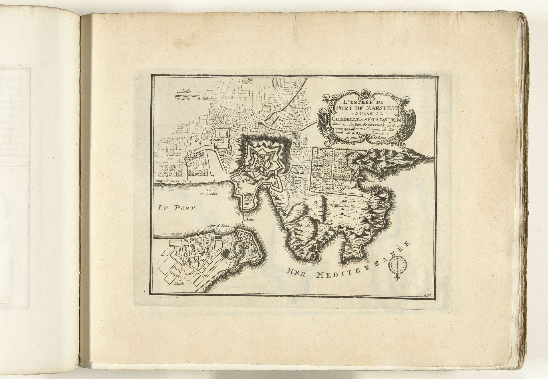
This is an anonymous print of the Marseille harbor dating from around 1702. The map offers us insight into the geography of trade, power, and cultural exchange in the Mediterranean during the early 18th century. Maps are not neutral; they reflect the interests and perspectives of those who create them. Consider, for instance, who might have commissioned this map and what their intentions might have been. Perhaps it was intended for merchants, military strategists, or colonial administrators, each of whom would have had a different stake in the region. Moreover, the map reveals the fortifications and strategic points, betraying the ever-present tensions and conflicts that defined the era. The emotional weight of a port city like Marseille lies in its role as a gateway, a place of arrivals and departures. For some, it represented opportunity and prosperity; for others, it was a point of no return, a site of displacement. Today, as we reflect on the movement of people and goods across borders, this map serves as a reminder of the complex and deeply human stories that are etched into the landscapes around us.
Plattegrond van de haven van Marseille, ca. 1702 1702 - 1703
Anonymous
@anonymousLocation
RijksmuseumArtwork details
- Medium
- drawing, print, paper, ink, engraving
- Dimensions
- height 220 mm, width 292 mm
- Location
- Rijksmuseum
- Copyright
- Rijks Museum: Open Domain
Tags
drawing
baroque
landscape
paper
ink
cityscape
engraving
Comments
No comments
About this artwork
This is an anonymous print of the Marseille harbor dating from around 1702. The map offers us insight into the geography of trade, power, and cultural exchange in the Mediterranean during the early 18th century. Maps are not neutral; they reflect the interests and perspectives of those who create them. Consider, for instance, who might have commissioned this map and what their intentions might have been. Perhaps it was intended for merchants, military strategists, or colonial administrators, each of whom would have had a different stake in the region. Moreover, the map reveals the fortifications and strategic points, betraying the ever-present tensions and conflicts that defined the era. The emotional weight of a port city like Marseille lies in its role as a gateway, a place of arrivals and departures. For some, it represented opportunity and prosperity; for others, it was a point of no return, a site of displacement. Today, as we reflect on the movement of people and goods across borders, this map serves as a reminder of the complex and deeply human stories that are etched into the landscapes around us.
Comments
No comments