print, engraving
#
baroque
# print
#
geometric
#
cityscape
#
engraving
Dimensions: height 237 mm, width 275 mm
Copyright: Rijks Museum: Open Domain
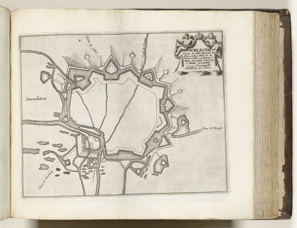
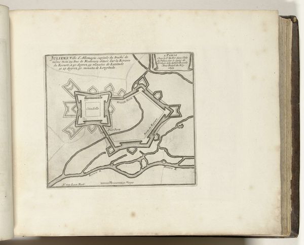
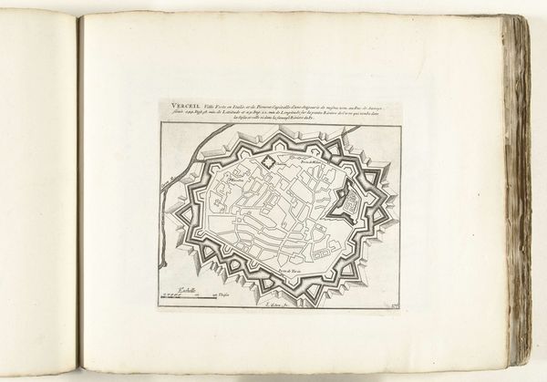
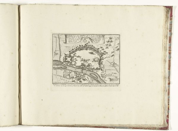
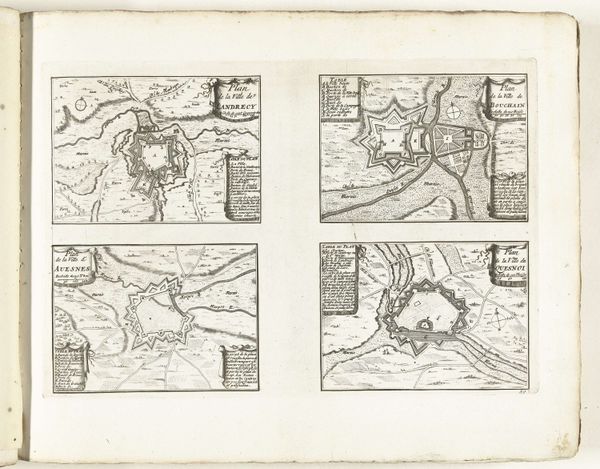
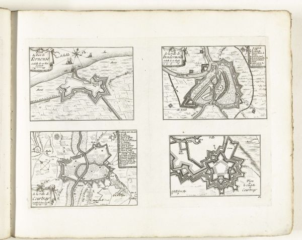
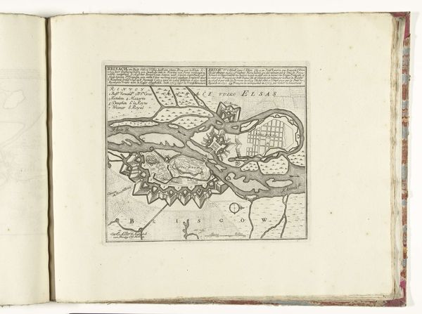
Abraham Allard created this map of Saarlouis around 1701-1713. It's a detailed engraving that uses line and form to depict the city's layout and fortifications. The rigid structure, with its geometric precision, presents an image of order and control. At first glance, the map is striking for its geometrical shapes, with the star-shaped fortification dominating the composition. This form isn't merely aesthetic; it represents the military strategy of the time, designed for maximum defense. The map’s structure visualizes power; the strong lines and careful detailing of buildings serve as signs of human dominance over space. The river and surrounding landscape are secondary, reinforcing the idea of a planned, controlled environment. The map also engages with semiotic systems. Each line, shape, and label functions as a sign pointing to real-world elements, but also to the cultural codes of cartography. These codes reflect a worldview where space is organized, knowable, and subject to human will. Ultimately, this map of Saarlouis isn't just a representation of space, but a cultural artifact that embodies the values and power structures of its time. It invites us to consider how we use visual tools to shape our understanding of the world.
Comments
No comments
Be the first to comment and join the conversation on the ultimate creative platform.
More like this