drawing, print, paper, ink, engraving
#
drawing
#
neoclacissism
# print
#
landscape
#
paper
#
ink
#
engraving
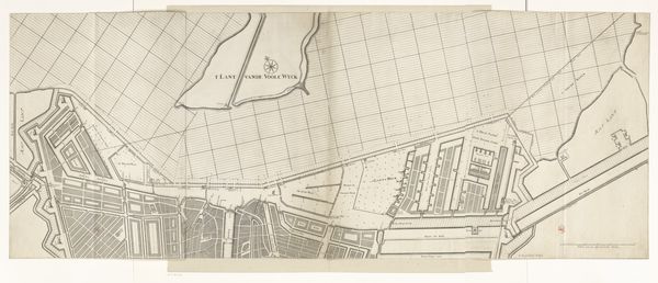
Dimensions: height 620 mm, width 740 mm
Copyright: Rijks Museum: Open Domain
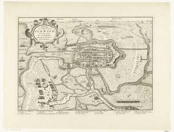
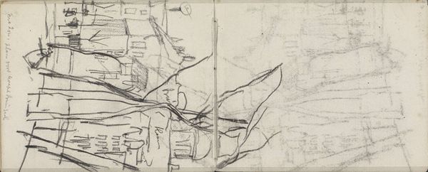
Cornelis van Baarsel created this map of the military camp near Zeist in 1805. The monochromatic map uses precise lines and structured composition to present a detailed overview of the area. The geometric layout, with its emphasis on order and spatial relationships, conveys a sense of control and strategic planning. The map’s structure and composition serve to communicate power and authority. The meticulous arrangement of the military camp's layout, combined with the map's emphasis on linear precision, reflects a broader historical context of military planning and territorial control. Van Baarsel's map is a formal exercise in representation and also a tool of governance and spatial understanding. Consider the tension between the aesthetic precision of the map and its practical function. The map invites us to question how art can serve as both a representation of reality and an instrument of power.
Comments
No comments
Be the first to comment and join the conversation on the ultimate creative platform.
More like this