drawing, print, paper, ink, engraving
#
drawing
#
baroque
# print
#
landscape
#
perspective
#
paper
#
ink
#
coloured pencil
#
cityscape
#
academic-art
#
engraving
#
miniature
Dimensions: height 104 mm, width 150 mm, height 532 mm, width 320 mm
Copyright: Rijks Museum: Open Domain
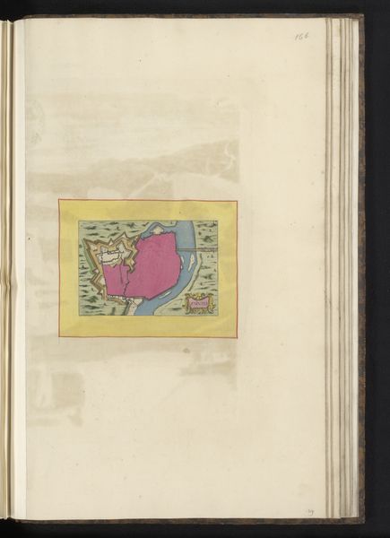
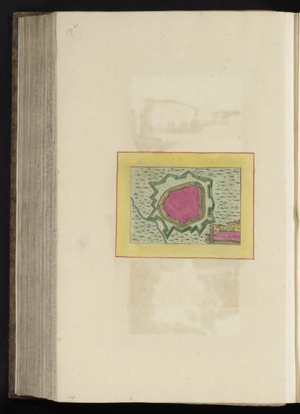
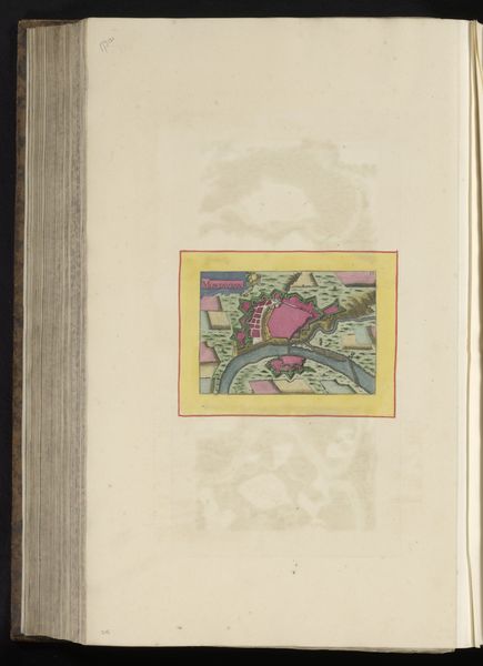
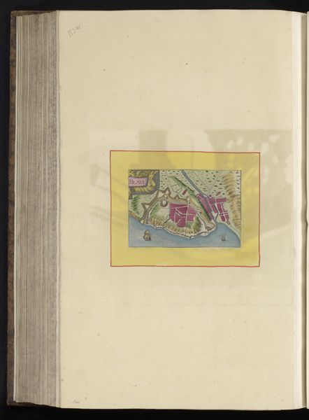
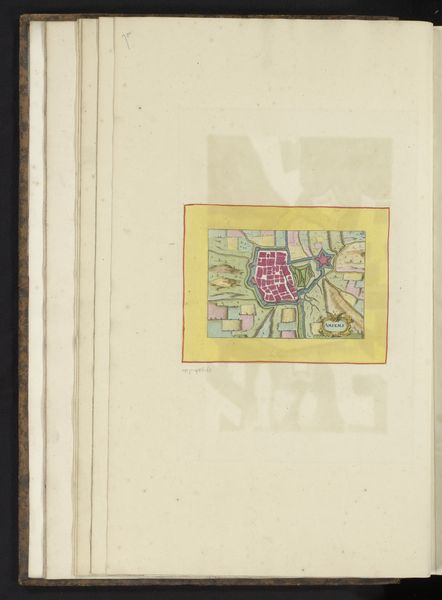
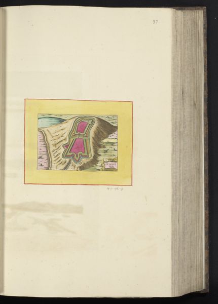
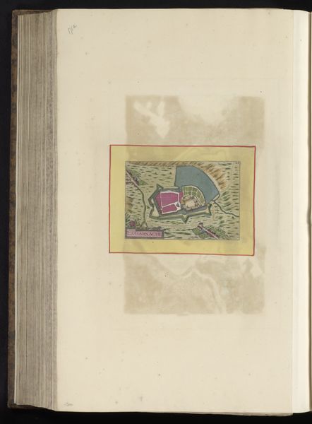
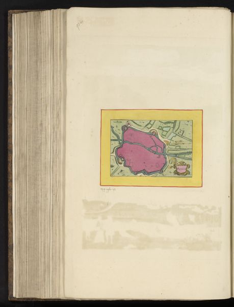
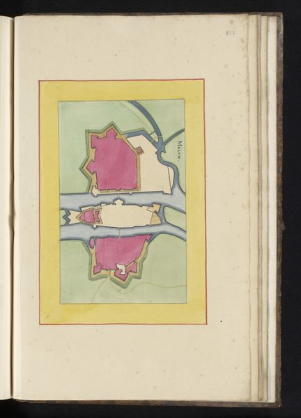
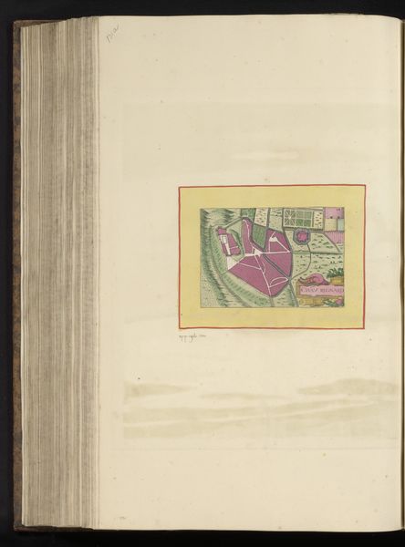
This is an anonymous plan of Nîmes, whose date and medium are unspecified. At first glance, the Vestingplattegrond’s bright pink, green, and yellow hues might evoke a sense of whimsy, yet a closer look reveals its structural complexity. The map's composition is divided into distinct zones, each defined by color and texture. The pink fortress dominates the center, surrounded by a green and yellow perimeter that bleeds out into a landscape of rivers and hills. This organization invites us to consider the dual nature of the map: as both an aesthetic object and a practical tool. The regular geometry of the fortification walls and angled bastions contrasts with the more organic rendering of the surrounding terrain. This could be interpreted as a visual representation of power structures asserting control over the natural world. The anonymous plan is not merely a depiction of space but an encoded narrative about power, knowledge, and representation.
Comments
No comments
Be the first to comment and join the conversation on the ultimate creative platform.
More like this