drawing, paper, ink
#
drawing
#
aged paper
#
dutch-golden-age
#
ink paper printed
#
sketch book
#
paper
#
personal sketchbook
#
ink
#
pen-ink sketch
#
ink colored
#
pen work
#
sketchbook drawing
#
cityscape
#
storyboard and sketchbook work
#
sketchbook art
Dimensions: height 105 mm, width 150 mm, height 532 mm, width 320 mm
Copyright: Rijks Museum: Open Domain
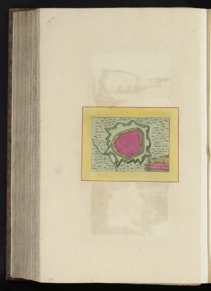
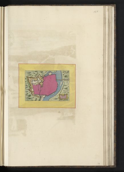
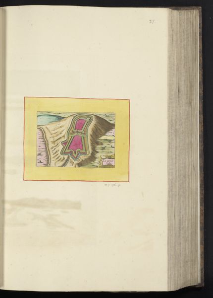
This is an anonymous, undated map of Montauban, rendered with ink and watercolor on paper. Montauban, a city in southwestern France, was a Protestant stronghold during the French Wars of Religion, a period of intense conflict between Catholics and Protestants. Consider how urban planning and cartography were historically instruments of power. Maps were not just neutral depictions of space; they were tools used to claim territory and exert control. During the religious wars, maps like this one could have served strategic purposes, aiding in defense or attack. The choice of pink and green hues, set within a yellow border, gives the city a surreal, dreamlike quality. The representation of Montauban in this manner, whether intentional or not, evokes a sense of longing for harmony in a time marked by religious division. While seemingly a simple depiction, the map invites us to reflect on how places become entangled with identity, belief, and the struggle for power. It reminds us that even the most cartographic representations can be charged with profound emotional and historical weight.
Comments
No comments
Be the first to comment and join the conversation on the ultimate creative platform.
More like this