drawing, paper, ink
#
drawing
#
medieval
#
landscape
#
paper
#
ink
#
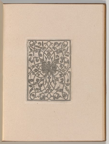
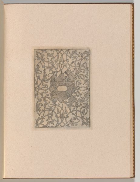
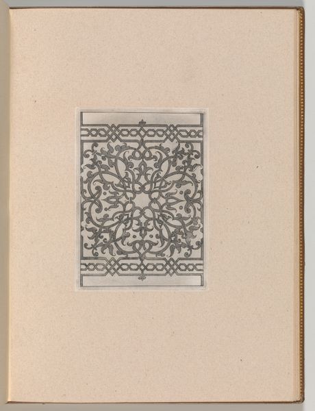
geometric
Dimensions: height 104 mm, width 151 mm, height 532 mm, width 320 mm
Copyright: Rijks Museum: Open Domain
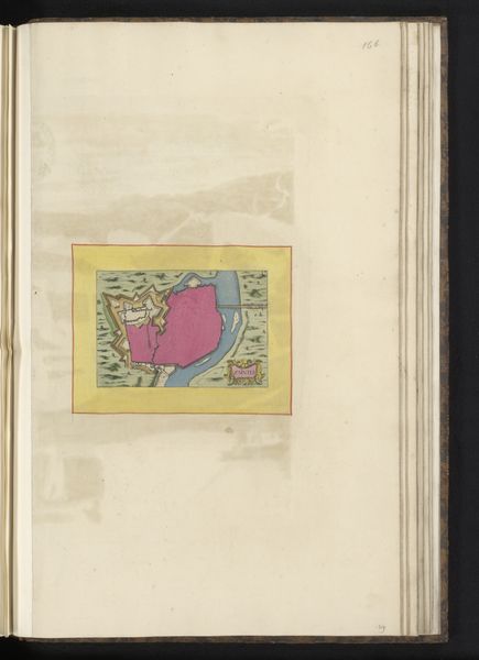
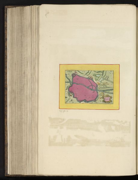
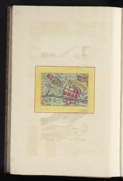
This plan of Caussade, a town in Southern France, was drawn anonymously with pen, ink and watercolour. It is an image that at first seems straightforward, even naive. Yet, consider the labor involved in its creation. The paper itself, likely made from pulped rags, would have been a precious commodity. Each careful stroke of the pen, each precisely placed wash of color, speaks to hours of patient work. Note how the fortifications are depicted with particular care, suggesting the mapmaker’s concern with military strategy. The pink chosen for the city center, as if it were an open wound, is a bold, unnatural choice. Far from being a mere document, this map is a testament to human effort and ingenuity. By attending to these qualities, we appreciate the work not just as a historical artifact, but as a product of skilled making. We move beyond conventional notions of what constitutes "art," recognizing the deep value embedded in practical objects.
Comments
No comments
Be the first to comment and join the conversation on the ultimate creative platform.
More like this