drawing, print, paper, engraving
#
drawing
#
medieval
# print
#
paper
#
cityscape
#
history-painting
#
engraving
Dimensions: height 340 mm, width 450 mm
Copyright: Rijks Museum: Open Domain
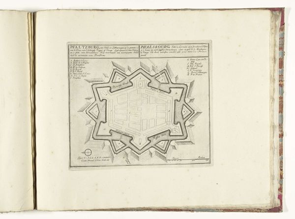
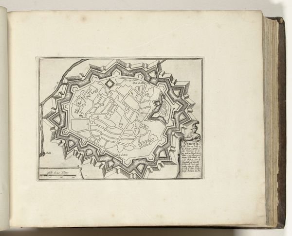
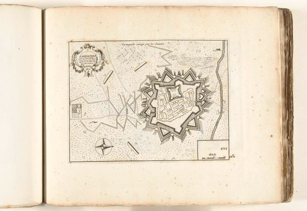
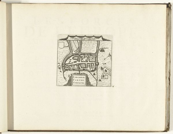
Curator: Welcome. The artwork before us, titled "Plattegrond van Philippeville, Mariembourg, Chimay en Walcourt," is an engraving on paper likely dating from the late 16th or early 17th century, depicting various city plans. What strikes you initially about its composition? Editor: The immediate impression is one of rigid control contrasted with a certain fragility due to the delicate linework. These aren't just maps; they're visualizations of power and order imposed upon the landscape. There is an evident underlying sense of military planning in this print. Curator: Precisely! The star-shaped fortifications in the plans of Philippeville and Mariembourg highlight the strategic thinking of the time. We see geometry weaponized, in a way, becoming a key element of urban design driven by military concerns. Note how the lines create a sense of visual hierarchy and defensibility. Editor: Beyond the geometry, these plans show societal values as well. The way the towns are divided could be reflective of hierarchies in those cities, who lived where, the proximity of those considered more or less important and so forth. The rigid star shape gives way to a more free flowing style to represent Chimay, this would have an effect of its people as well. Curator: It's a fascinating observation, certainly! It reminds us that artistic choices often reflected societal biases and power structures. If we consider the broader historical context, with its religious conflicts and power struggles across Europe, this print becomes even more meaningful. It showcases the increasing importance of urban planning in the age of warfare. The focus on defensive structures emphasizes how essential it was for these cities to protect their citizens and assert their dominance. Editor: Yes, this image offers a lens through which we see these locations as more than geographical spaces. Rather we observe them as intersections of social order, power dynamics, and conflict. We get a valuable glimpse into how cartography was a tool for claiming territory, enacting authority, and shaping perceptions. Curator: Very well said. So, while the artwork functions as a record of place, the style reminds us how inseparable a period's political motives and urban life could be. Editor: Indeed. By visually mapping multiple cities at once the piece functions not just as a plan for the city, but a plan for solidifying and organizing European order. Thank you for giving that new perspective.
Comments
No comments
Be the first to comment and join the conversation on the ultimate creative platform.
More like this