print, engraving
#
baroque
# print
#
cityscape
#
engraving
Dimensions: height 124 mm, width 133 mm
Copyright: Rijks Museum: Open Domain
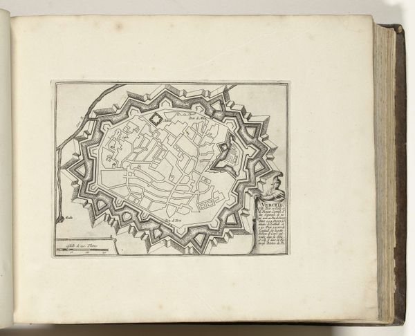
This anonymous map of Cork, made in 1726, presents a curious interplay of lines and forms that invite closer inspection. Its monochrome palette directs us to the arrangement of space and the structural elements that define the city. Notice how the grid-like layout of streets and buildings creates a sense of order, contrasted by the fluid, organic lines of the river. This juxtaposition might reflect the tensions between human control and natural forces, or the way urban planning seeks to impose order on a landscape. The map isn't just a practical tool; it’s a statement about power and perspective. By reducing a complex reality to a set of symbols, the map asserts a particular understanding of space. The formal qualities, in their stark simplicity, invite us to consider how we construct and interpret our surroundings through visual representation.
Comments
No comments
Be the first to comment and join the conversation on the ultimate creative platform.
More like this