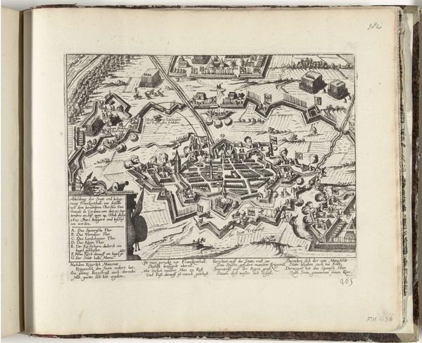
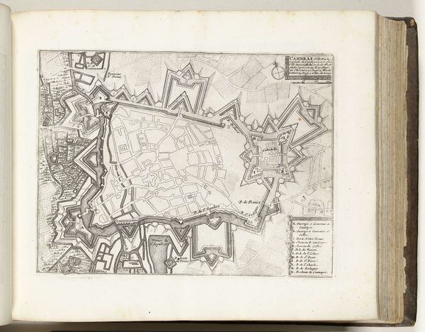
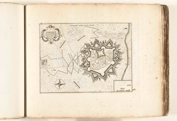
Kaart van Sluis en omgeving belegerd door de Spanjaarden, 1621 1621
franshogenberg
Rijksmuseum
drawing, print, ink
drawing
baroque
dutch-golden-age
ink
geometric
cityscape
history-painting
Dimensions: height 220 mm, width 285 mm
Copyright: Rijks Museum: Open Domain
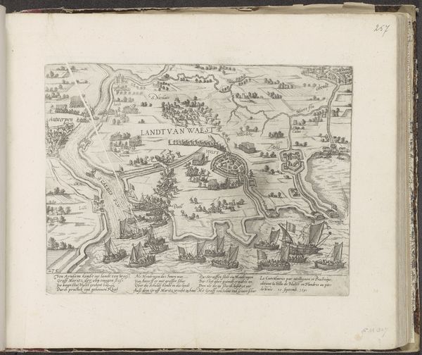
Frans Hogenberg created this map of Sluis and its surroundings besieged by the Spanish in 1621. At the upper left, we observe the compass rose, a familiar guidepost in cartography, yet charged with deeper symbolic weight. The compass, in its essence, represents orientation and direction, but also embodies mankind's yearning to navigate the unknown. We see echoes of this symbol in ancient mariner's charts, medieval cosmological diagrams, and even in the 'Wheel of Fortune', a motif recurrent in diverse cultures, each striving to grasp destiny's course. Over time, the compass evolved from a mere navigational tool to a profound metaphor for life's journey, its unpredictable nature. The image of the compass resonates with a collective memory; the subconscious desire to steer through life's tumultuous seas. The human spirit, like a ship, seeks its true north, its purpose, its home. Here we find the emotional power of the compass to convey the powerful human desire to venture forth and discover. The compass, forever turning, resurfaces, evolves, charting new meanings across history's ever-shifting terrains.
Comments
No comments
Be the first to comment and join the conversation on the ultimate creative platform.