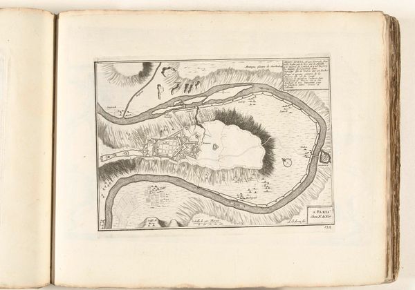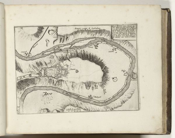
1702 - 1703
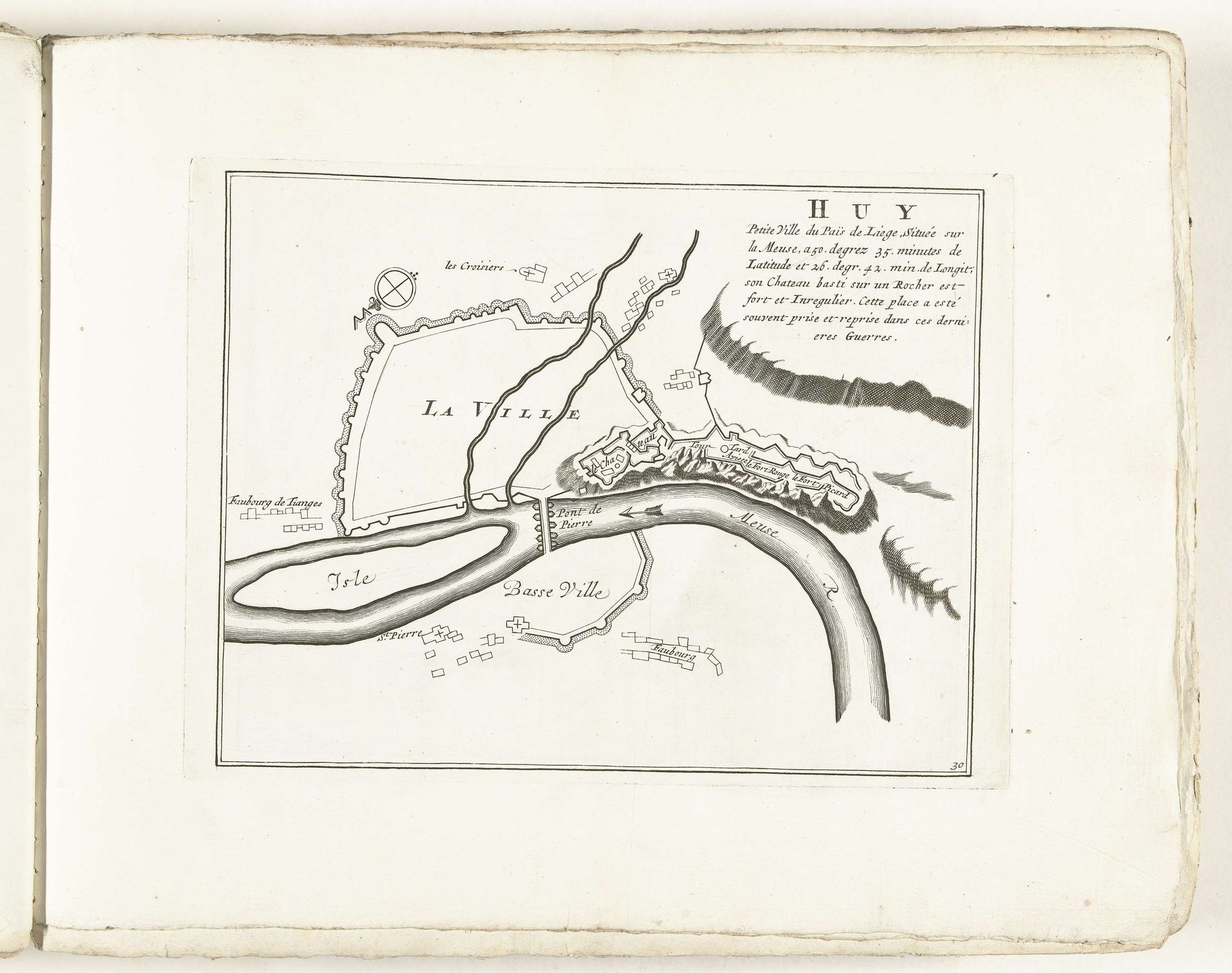
Plattegrond van Huy, ca. 1702
Anonymous
@anonymousLocation
RijksmuseumListen to curator's interpretation
Curatorial notes
This is an anonymous map of Huy made around 1702 with ink on paper. The map is rendered in a style that emphasizes clarity and precision. Note the use of thin, consistent lines to delineate borders, buildings, and natural features. This creates a visual structure that divides the space into distinct areas, each clearly labeled. The river, represented by curving parallel lines, dominates the composition. The city itself, divided into ‘La Ville’ and ‘Basse Ville,’ is rendered with a network of geometric shapes, suggesting fortifications and urban planning. Look closely at how the map challenges our understanding of space and representation. It is not merely a depiction of geographical reality, but rather a carefully constructed diagram that imposes order onto the landscape. The map functions as a form of symbolic control, reflecting an emerging mode of thinking about space and power.