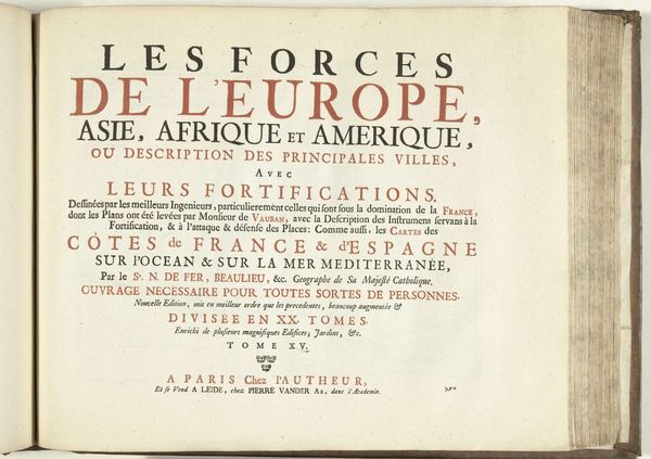
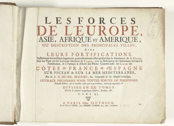
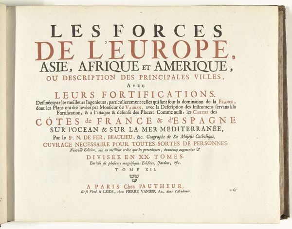
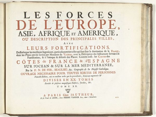
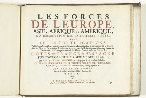
Titelpagina voor het prentwerk: Les Forces de l'Europe, Asie, Afrique et Amerique (...) Comme aussi les Cartes des Côtes de France et d'Espagne (deel IV), 1726 1726
0:00
0:00
pietervanderiaa
Rijksmuseum
print, typography, engraving
#
baroque
# print
#
typography
#
engraving
Dimensions: height 300 mm, width 390 mm
Copyright: Rijks Museum: Open Domain
This is a title page from 1726, created by Pieter van der Aa, introducing a collection of prints titled 'The Forces of Europe, Asia, Africa, and America.' It reflects the European gaze during an era of exploration, colonization, and burgeoning global trade. Note how the continents are listed as resources to be cataloged. This was a time when Europe was mapping not just territories, but also asserting dominance over diverse cultures. This is not an innocent representation of the world, but one loaded with power dynamics. The fortifications described hint at the military strategies underpinning colonial expansion. What does it mean to see the world through the lens of military strength and strategic control? Consider how this image, intended to inform, also served to reinforce a worldview that shaped the relationship between Europe and the rest of the world. It reminds us that maps are not neutral; they are narratives that tell us as much about the mapmaker as about the territories they depict.
Comments
No comments
Be the first to comment and join the conversation on the ultimate creative platform.
More like this