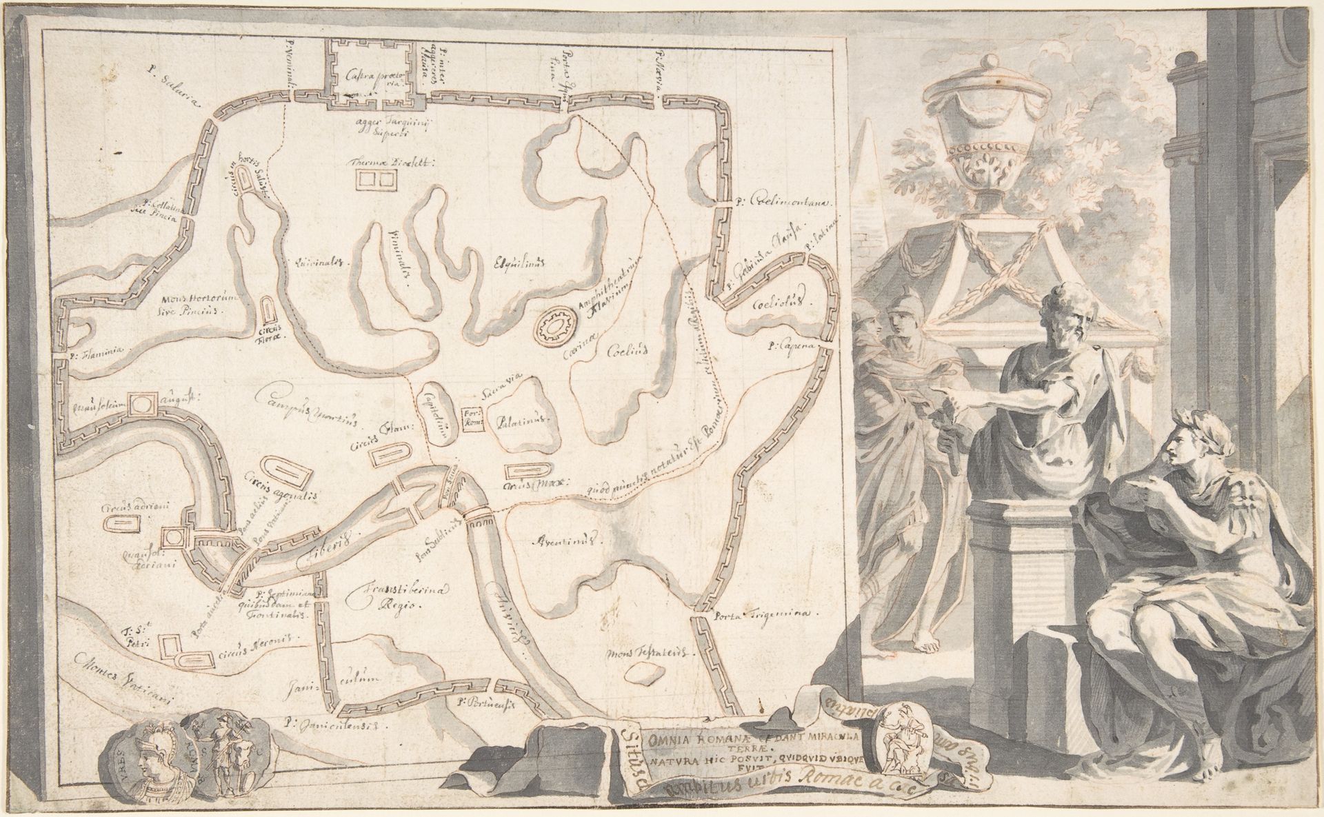
1690 - 1704
Map of Ancient Rome Illustrating Major Monuments and the Seven Hills
Listen to curator's interpretation
Curatorial notes
Jan Goeree created this map of ancient Rome illustrating major monuments and the seven hills, likely during his work as an engraver for the Dutch East India Company. The map is not just a depiction of a physical space but also an articulation of cultural identity and power. Rome, in the 17th and 18th centuries, served as the bedrock of European identity, and Rome’s geography and monuments were central to understanding power dynamics. The map reflects the intersection of artistic skill, the Dutch Republic’s fascination with classical antiquity, and the socio-political context of the time. It's a time when the Netherlands, a burgeoning mercantile power, looked towards Rome as a source of legitimacy and prestige. The map reflects and shapes societal issues by constructing an image of Rome that aligns with the cultural and political values of the Dutch Republic. It invites viewers to reflect on their relationship with history and power.