#
comic strip sketch
#
pen drawing
#
pen illustration
#
pen sketch
#
old engraving style
#
personal sketchbook
#
ink drawing experimentation
#
pen-ink sketch
#
pen work
#
sketchbook drawing
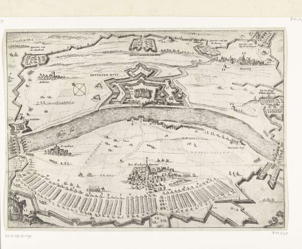
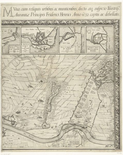
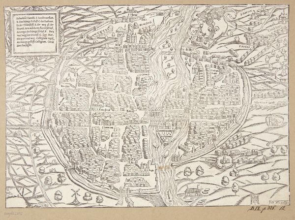
Dimensions: height 284 mm, width 360 mm
Copyright: Rijks Museum: Open Domain
This is an anonymous map of the siege of Breda, made sometime between 1624 and 1625. It captures a pivotal moment in the Eighty Years' War, a conflict deeply intertwined with religious and political identities. Maps like these were more than just geographical tools. They served as powerful propaganda, shaping public perception of military events and national identity. This map visually narrates the siege, emphasizing strategic positions, and perhaps, subtly influencing the viewer's understanding of the conflict. Consider the human stories behind these fortifications and troop movements. Each symbol on this map represents lives disrupted, families torn apart, and communities forever changed by war. It invites us to reflect on the costs of conflict and the complex interplay between individual experiences and broader historical narratives. How does seeing this event mapped out affect your understanding of its impact?
Comments
No comments
Be the first to comment and join the conversation on the ultimate creative platform.
More like this