drawing, paper, ink
#
drawing
#
landscape
#
paper
#
ink
Dimensions: height 104 mm, width 151 mm, height 532 mm, width 320 mm
Copyright: Rijks Museum: Open Domain
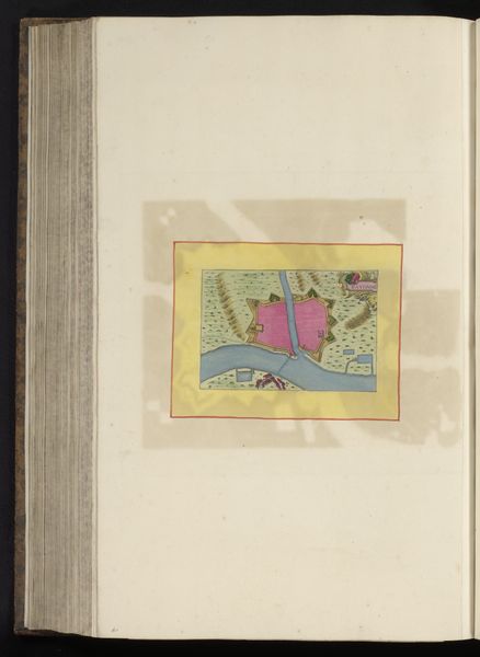
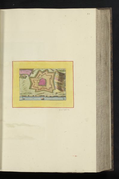
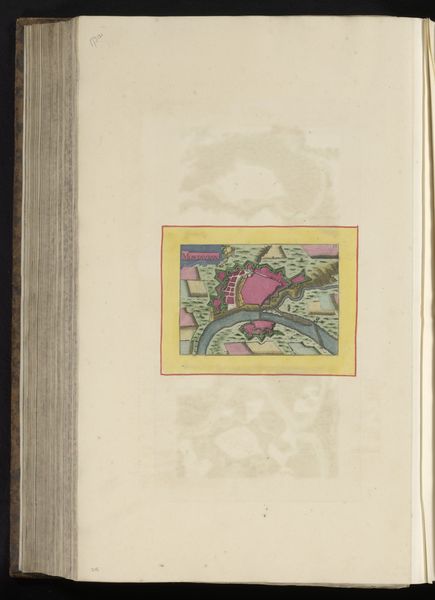
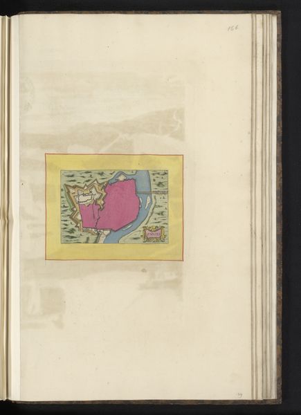
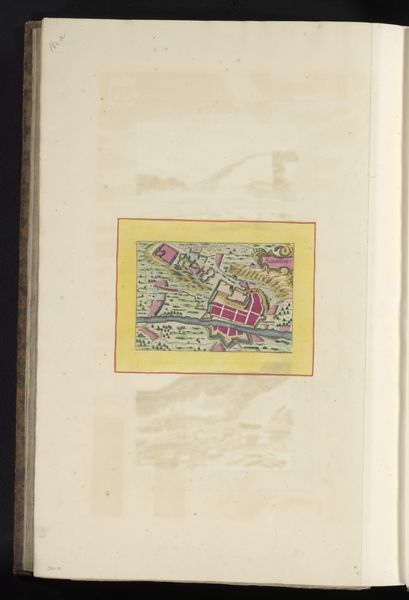
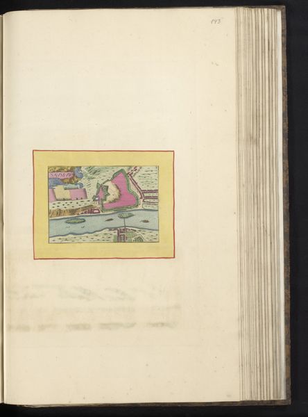
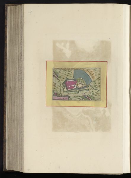
This hand-colored print depicts a bird’s eye view of Fronsac, a town in southwestern France. The image encapsulates critical aspects of early modern European society. Fortified towns like Fronsac were not simply defensive structures; they were nodes of power, commerce, and social control. The visual codes within this map – the prominent fortress, the neat rows of buildings, the controlled river – speak to a culture deeply invested in order and security. Such investments were driven by the religious conflicts that spread across Europe at the time, creating an environment of heightened anxiety and a need for defenses. The production and distribution of maps like this one also reflect broader shifts in knowledge and power. They testify to the rise of the state as a centralized administrative force. Understanding this image demands an interdisciplinary approach, one that combines art historical analysis with geographic, military, and social history. This kind of research reveals the complex interplay of art, power, and society in early modern Europe.
Comments
No comments
Be the first to comment and join the conversation on the ultimate creative platform.
More like this