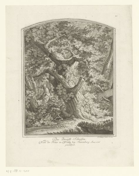
graphic-art, print, engraving
#
graphic-art
#
pen drawing
#
dutch-golden-age
# print
#
pen illustration
#
pen sketch
#
old engraving style
#
personal sketchbook
#
ink drawing experimentation
#
pen-ink sketch
#
pen work
#
sketchbook drawing
#
sketchbook art
#
engraving
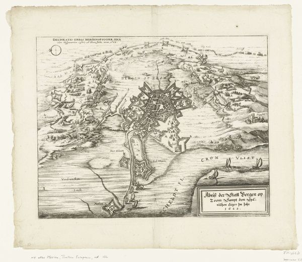
Dimensions: height 642 mm, width 372 mm
Copyright: Rijks Museum: Open Domain
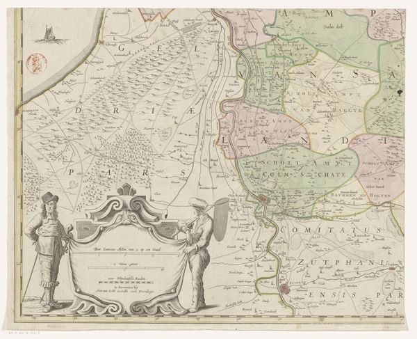
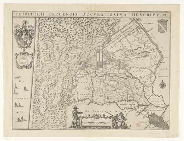
This is Thomas Doesburgh's engraved map of the province of Utrecht. Although undated, the map offers insight into the complex interplay between cartography, power, and identity in the Netherlands. Maps were not just tools for navigation; they were also powerful symbols of ownership and control. Here, Utrecht is allegorically depicted as a seated woman, a classical reference, on horseback surrounded by cherubs, signifying abundance and divine favor. This portrayal, while seemingly benign, reflects the Dutch Republic’s aspirations for dominance amid ongoing territorial disputes. The map subtly underscores the social hierarchy, with the land meticulously surveyed and divided, reflecting the economic interests of the ruling elite. It presents an idealized vision, obscuring the realities of those whose lives were directly impacted by the decisions of the governing class. It reminds us to critically examine how representations of space are never neutral, but deeply enmeshed with the politics of their time.
Comments
No comments
Be the first to comment and join the conversation on the ultimate creative platform.
More like this