drawing, print, pen, engraving
#
drawing
#
dutch-golden-age
# print
#
pen illustration
#
pen sketch
#
old engraving style
#
pen-ink sketch
#
pen work
#
sketchbook drawing
#
pen
#
cityscape
#
engraving
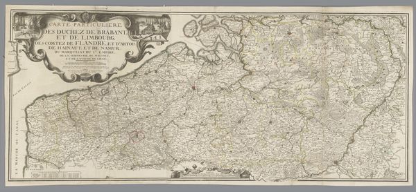
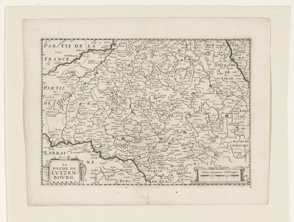
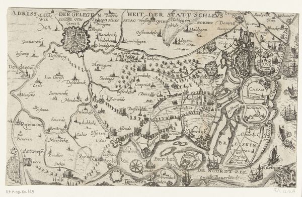
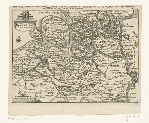
Dimensions: height 415 mm, width 554 mm
Copyright: Rijks Museum: Open Domain
This is a map of the Bergen region, made by an anonymous cartographer using printmaking techniques. Maps like these weren't just about navigation; they were about power. The fine, etched lines, the detailed rendering of terrain, and the inclusion of heraldic symbols all contribute to an image of authority. Think about the labour involved. Surveying the land, engraving the plate, and finally printing the maps. Each stage demanded skilled craftsmanship. The visual language and the meticulous rendering of geographic detail were crucial for asserting control, defining territories, and laying claim to resources. So, the next time you look at a map, consider it not just as a representation of space, but as a carefully constructed statement of intent. It’s a potent blend of art, science, and politics, all rolled into one.
Comments
No comments
Be the first to comment and join the conversation on the ultimate creative platform.
More like this