print, engraving
#
dutch-golden-age
# print
#
old engraving style
#
geometric
#
line
#
cityscape
#
engraving
Dimensions: height 150 mm, width 178 mm
Copyright: Rijks Museum: Open Domain
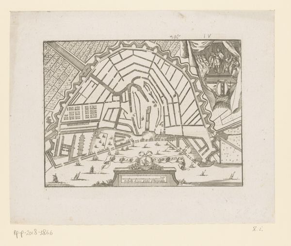
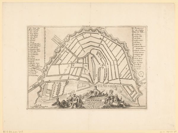
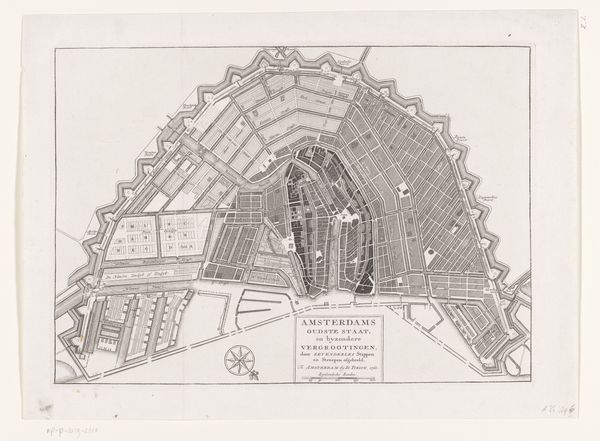
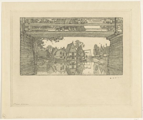
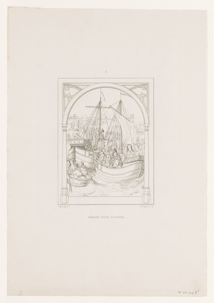
This is an anonymous print of Amsterdam. The image depicts the city’s layout, with a focus on how it has been expanded over time. The map presents Amsterdam as a commercial hub, bustling with activity. Ships are seen sailing on the water, which shows the importance of maritime trade for the city’s economy. The fortifications around the perimeter of the city are also clearly visible. Amsterdam's transformation in the 17th century from a modest port into a global economic power is fascinating to examine. Amsterdam was also distinctive for its religious tolerance, which was unusual in Europe at the time. The cultural context for this image is the Dutch Golden Age when the Netherlands was a major center for art and cartography. By studying archives, documents, and other historical sources, historians can reconstruct the social and political conditions that gave rise to artworks like this map. The meaning of any art is contingent on its social and institutional context.
Comments
No comments
Be the first to comment and join the conversation on the ultimate creative platform.
More like this