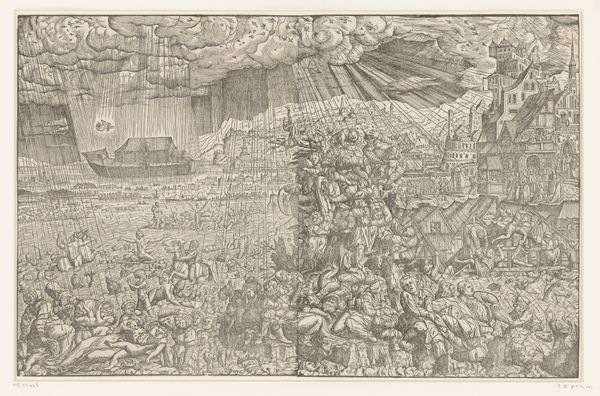
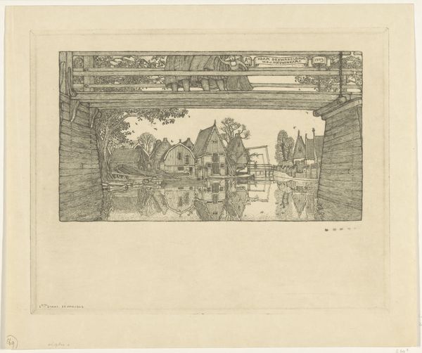
graphic-art, print, etching, engraving
#
graphic-art
#
dutch-golden-age
# print
#
etching
#
etching
#
cityscape
#
engraving
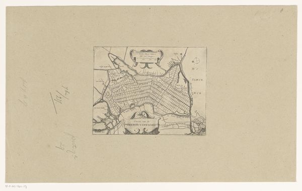
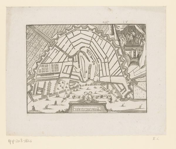
Dimensions: height 484 mm, width 580 mm
Copyright: Rijks Museum: Open Domain
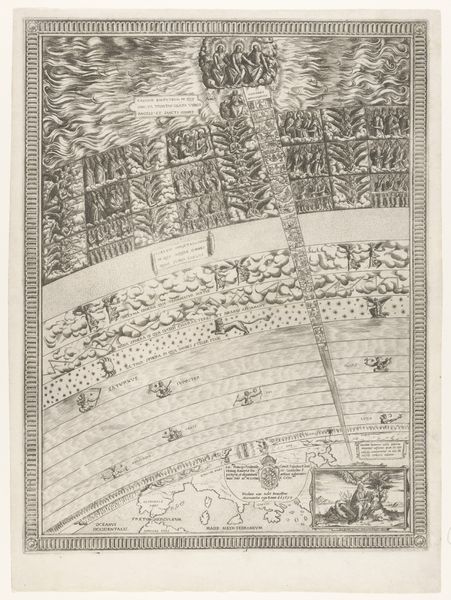
This is an anonymous map of Amsterdam made at an unknown date using an engraving technique. The image shows a bird’s eye view of the city, with a detailed rendering of its intricate canal system. Made in the Netherlands, this map highlights the importance of cartography in the 17th and 18th centuries as a tool of statecraft and commerce. The Dutch Republic was a major maritime power, and accurate maps were essential for navigation and trade. Amsterdam was not only a bustling economic hub, but it was also at the centre of this cartographic innovation. The level of detail in this map would have been very useful for merchants, navigators, and city administrators. As historians of art, we use maps like these to understand the physical and social geography of the past. By comparing this map with other historical documents such as city records, trade ledgers, and personal letters, we can gain insight into the lives of those who lived and worked in Amsterdam during this time.
Comments
No comments
Be the first to comment and join the conversation on the ultimate creative platform.
More like this