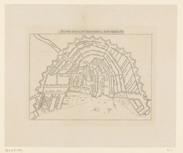
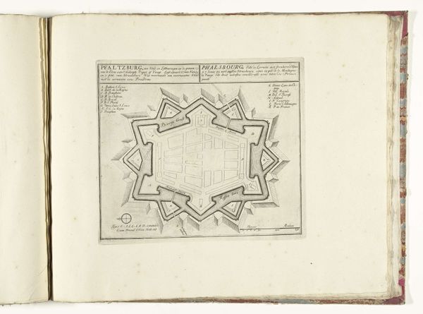
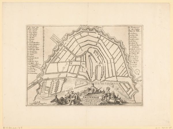
print, engraving
#
dutch-golden-age
# print
#
perspective
#
geometric
#
cityscape
#
engraving
Dimensions: height 286 mm, width 405 mm
Copyright: Rijks Museum: Open Domain
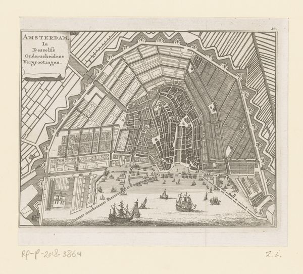
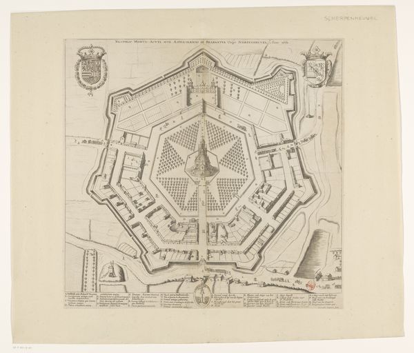
This is an anonymous print depicting a map of Amsterdam with various expansion phases. Here, we see an aerial view of the city, with its concentric canals and fortified perimeter. The image creates meaning through its precise rendering of urban planning, serving both practical and symbolic purposes. Made in the Netherlands, likely during the Dutch Golden Age, this map reflects the cultural and economic dynamism of Amsterdam as a major trading hub. We can understand the map as a form of institutional power, codifying property rights, projecting civic authority, and enabling efficient governance. By studying archival records, urban development plans, and period accounts, we can better understand the ways in which Amsterdam's urban form shaped social relations and contributed to its unique identity. The meaning of this map is thus contingent on its social and institutional context, offering insights into the values and priorities of its creators and users.
Comments
No comments
Be the first to comment and join the conversation on the ultimate creative platform.
More like this