after 1719
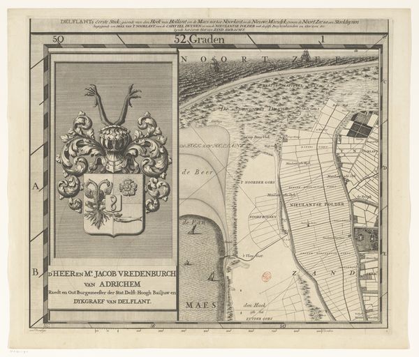
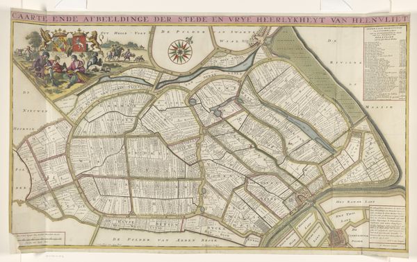
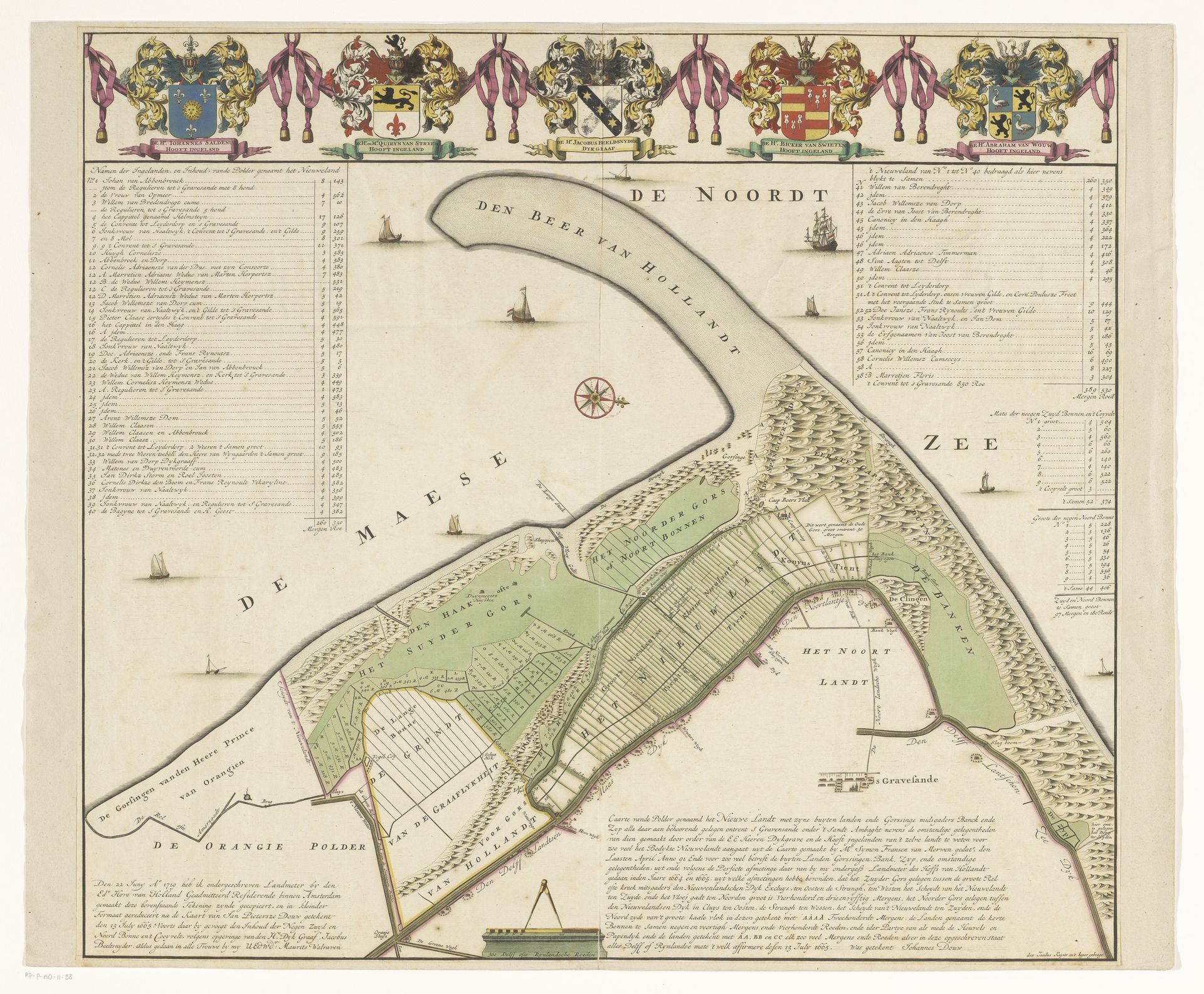
Kaart van de polder Het Nieuwland
Jacob Keyser
@jacobkeyserLocation
RijksmuseumListen to curator's interpretation
Curatorial notes
Jacob Keyser created this hand-colored engraving titled 'Kaart van de polder Het Nieuwland.' Maps have always been more than simple representations of geography. They embody political power and cultural perspectives. This map depicts a polder, a piece of low-lying land reclaimed from the sea or a river, reflecting the Dutch Republic's ambitious engineering and land reclamation projects during this time. Consider the social and economic implications of such projects: Who benefits from this new land? Whose labor made it possible? How does this reshaping of the landscape affect the existing communities and ecologies? By reading this map, we're not just seeing land, but also the assertion of human will, the drive for economic expansion, and the complex relationship between humanity and nature. The act of mapping itself is an act of claiming. Keyser's map is a declaration of ownership, an assertion of control over the land and its resources. It invites us to reflect on the power dynamics inherent in cartography and the ways in which maps have been used to legitimize colonization and exploitation.