print, engraving
# print
#
11_renaissance
#
geometric
#
history-painting
#
engraving
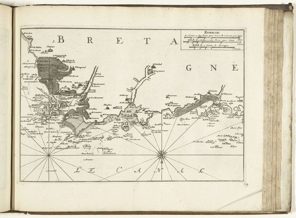
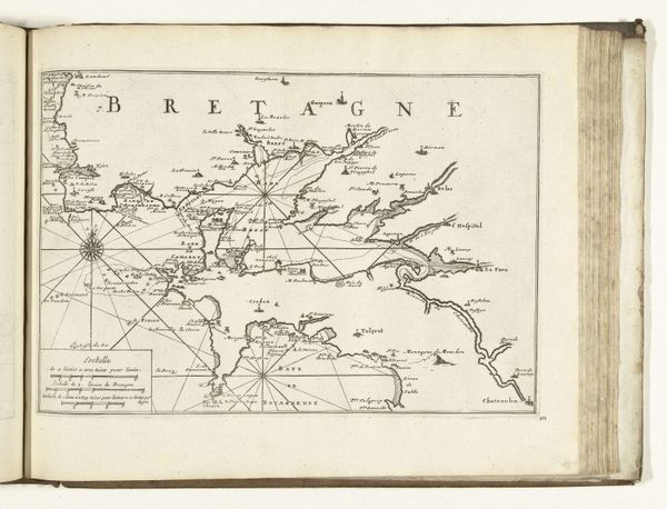
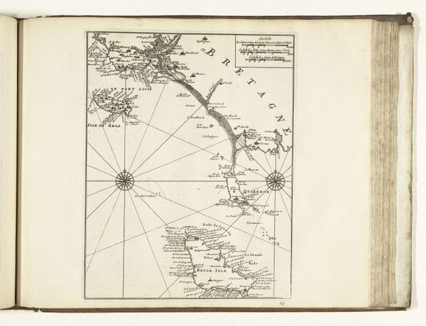
Dimensions: height 227 mm, width 305 mm
Copyright: Rijks Museum: Open Domain
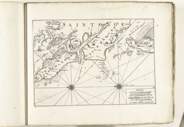
This is an anonymous map of the south coast of Brittany, created in 1726. At this time mapmaking was a tool of empire and was used to chart resources and claim land. Consider for a moment that this map flattens a lived in space into lines on a page. For the people who lived on the coast of Brittany, their identity was inextricably linked to this land and sea. This map reduces their home to a resource. It imagines the land as something to be possessed and exploited, a common practice during the height of colonial expansion. This map and others like it played a crucial role in shaping our understanding of the world. It presents a specific vision of power and control, obscuring local identities and lived experiences under a veneer of scientific objectivity.
Comments
No comments
Be the first to comment and join the conversation on the ultimate creative platform.
More like this