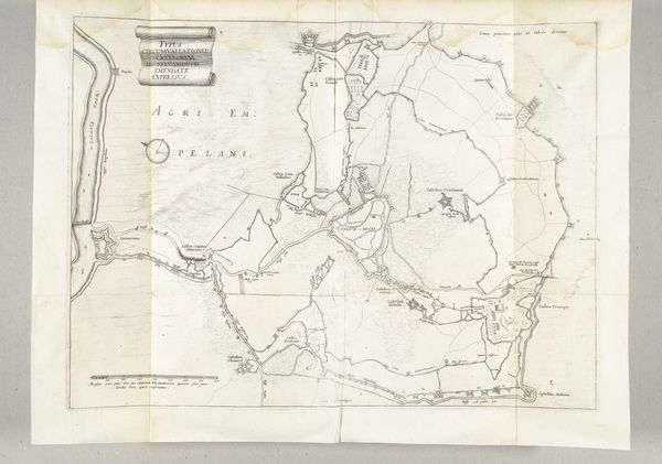
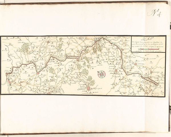
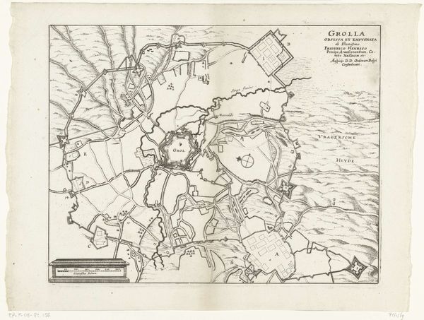
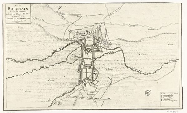
Omsingeling van Den Bosch tijdens het beleg door Frederik Hendrik, 1629 1629 - 1631
0:00
0:00
anonymous
Rijksmuseum
drawing, print, engraving
#
drawing
#
baroque
# print
#
old engraving style
#
pen work
#
cityscape
#
history-painting
#
engraving
Dimensions: height 360 mm, width 493 mm
Copyright: Rijks Museum: Open Domain
This anonymous drawing depicts the encirclement of Den Bosch during the siege by Frederik Hendrik in 1629. What immediately strikes you is the intricate, almost obsessive detail rendered in ink. The composition, a bird’s-eye view, pulls us into a world meticulously mapped out, where lines define not just geographical boundaries but also power dynamics. The use of line is particularly compelling, forming rigid fortifications that contrast with the fluid rendering of the surrounding waters. This tension between the geometric and the organic creates a visual dialogue about control and nature. Semiotically, the map functions as a set of signs; each line and label is a code, inviting us to decode the strategy and stakes of this historical siege. Ultimately, the anonymous artist’s choice to represent this event through such precise linework challenges the way we think about landscape and conflict, turning a historical moment into a study of form, space, and the semiotics of power. This piece shows us that art can serve not just as a record but as an active interrogation of the structures shaping our world.
Comments
No comments
Be the first to comment and join the conversation on the ultimate creative platform.
More like this