drawing, print, paper, ink, engraving
#
drawing
#
baroque
#
dutch-golden-age
# print
#
paper
#
ink
#
cityscape
#
engraving
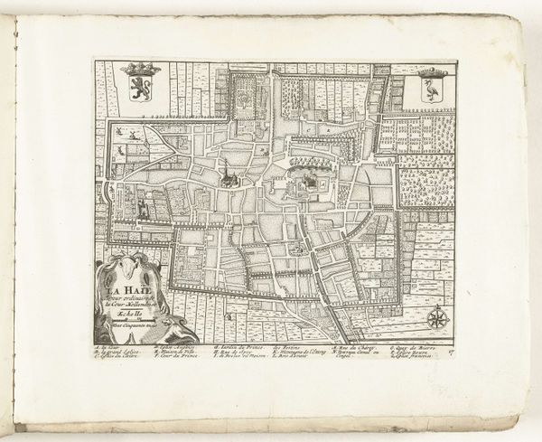
Dimensions: height 235 mm, width 283 mm
Copyright: Rijks Museum: Open Domain
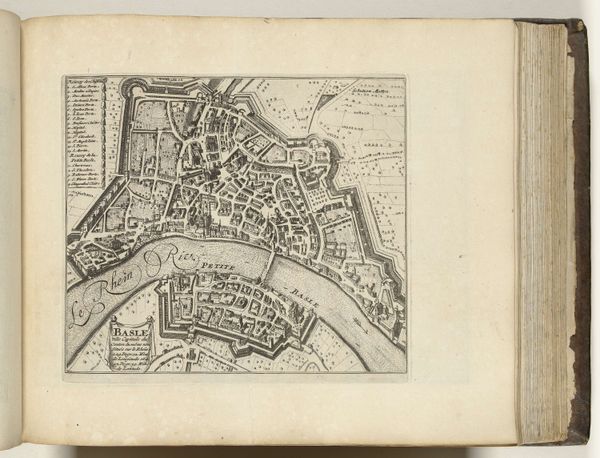
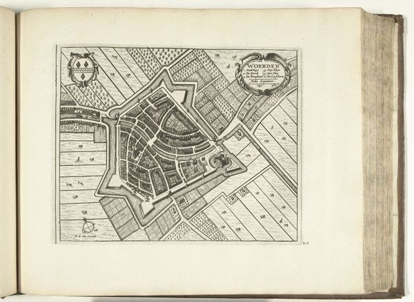
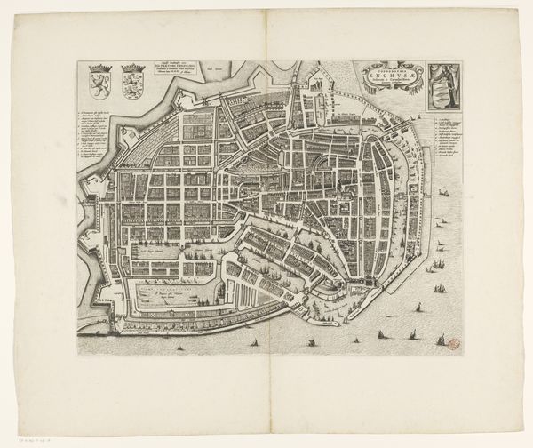
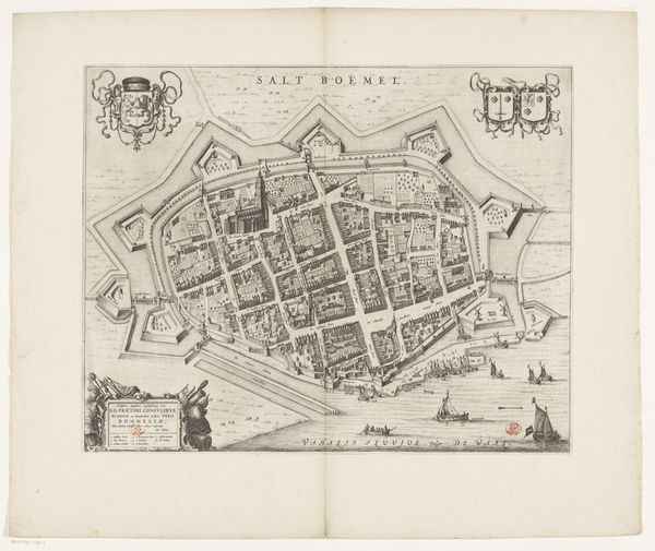
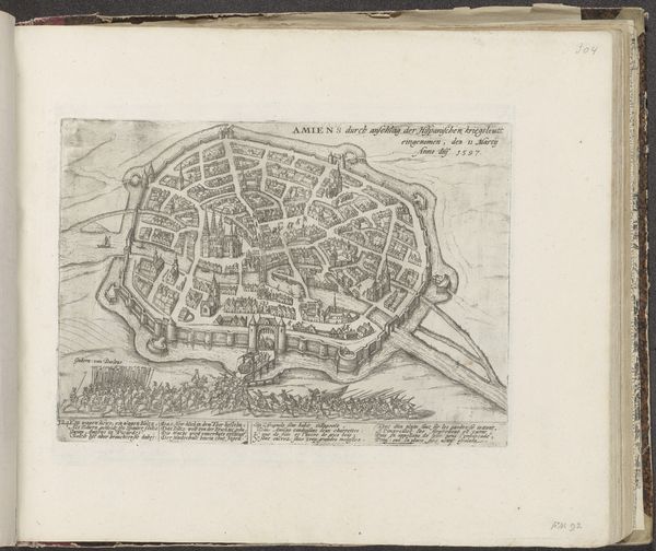
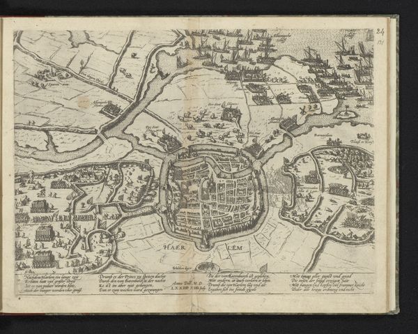
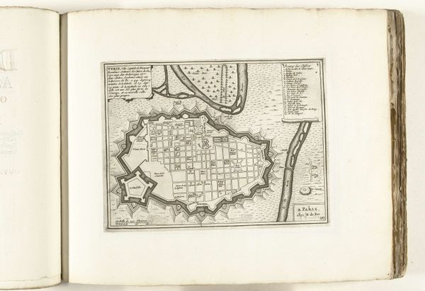
This is a map of The Hague, created in 1726 by an anonymous artist. It's an engraving, meaning the image was incised into a metal plate, inked, and then pressed onto paper. The technique demands a high degree of skill. Notice the fine, precise lines that define the city's layout. Each street, building, and canal is rendered with remarkable accuracy. This wasn't just about documentation; it was a way of understanding and controlling space. Maps like these were crucial tools for trade, governance, and military strategy. They represent a culture that valued order and rationality, reflecting the rise of mercantilism and the increasing importance of urban centers. The act of engraving itself embodies a certain kind of labor—a meticulous, repetitive process that transforms raw material into a powerful image. By appreciating the making of this map, we recognize the social and economic forces that shaped not only the city of The Hague but also the world beyond its borders.
Comments
No comments
Be the first to comment and join the conversation on the ultimate creative platform.
More like this