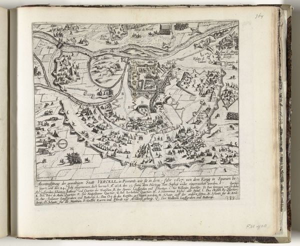
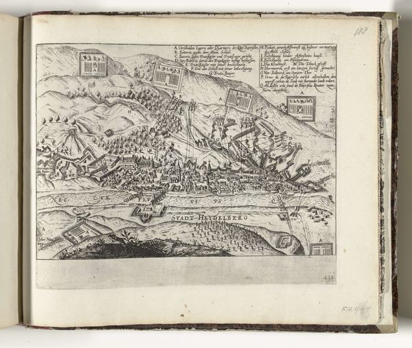
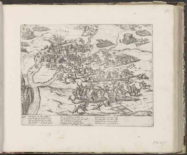
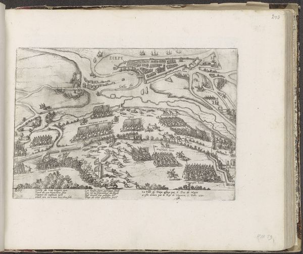
drawing, print, ink, engraving
#
drawing
# print
#
pen sketch
#
old engraving style
#
landscape
#
ink
#
geometric
#
engraving
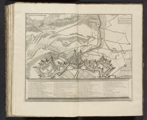
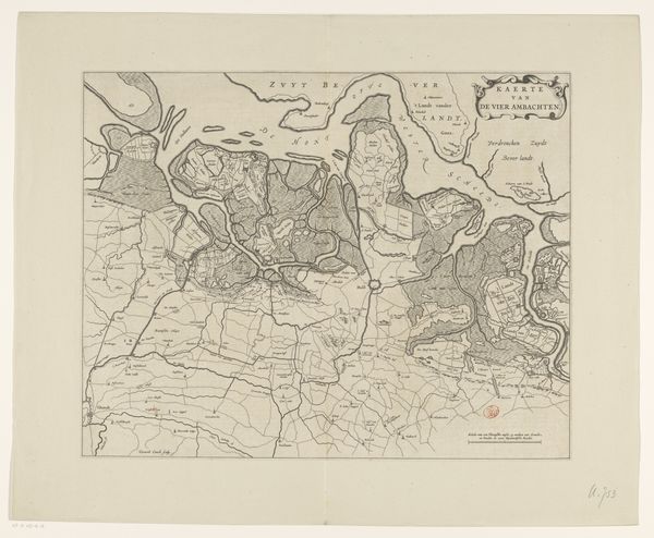
Dimensions: height 431 mm, width 560 mm
Copyright: Rijks Museum: Open Domain
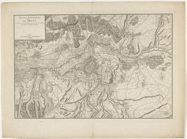
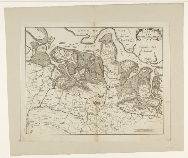
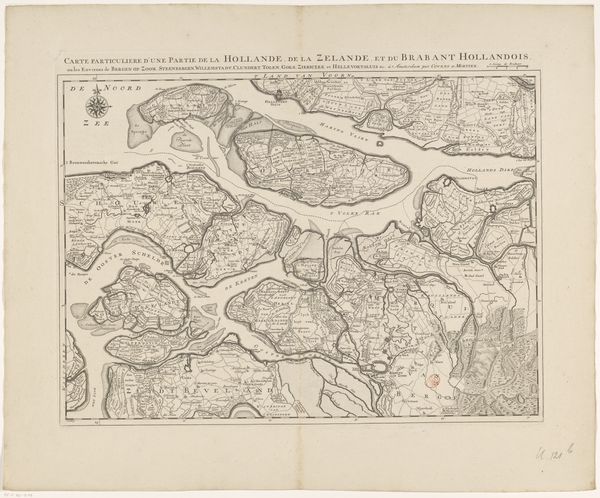
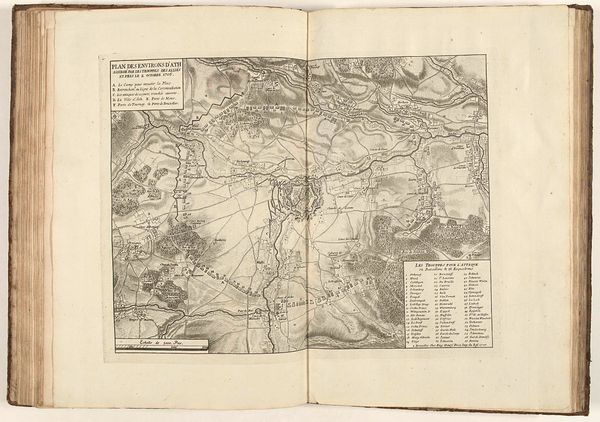
Editor: We’re looking at "Kaart van het noordwestelijk deel van Brabant," a map made sometime between 1748 and 1774 by Johannes Condet, created with drawing, printing, ink and engraving techniques. It's incredibly detailed! What purpose did such maps serve in that era? Curator: Maps like this were not simply geographical tools, but rather potent symbols of power and control. Consider the historical context: the Dutch Republic was a major player in global trade and warfare. Maps became instruments for understanding territory, planning military campaigns, managing resources, and staking political claims. Editor: So, a map is not a neutral object? Curator: Precisely. Who commissioned the map? Who was it intended for? What choices were made in its creation, from selecting what to include, the rendering of perspective, even the choice of language for labels? Maps offer insight into social hierarchies, economic priorities, and the political agendas of their creators and patrons. The precision evident here implies a society that values order and administrative oversight. Note the fortifications, which likely were a more emphatic inclusion, serving to represent military power. Editor: It’s like the map itself is performing a political act. I hadn’t considered the power dynamics inherent in creating and possessing geographic knowledge. Curator: Indeed. Examining such maps challenges us to think critically about how representations of space and place are always intertwined with socio-political concerns. Perhaps we should research who might have paid for this and what claims it makes on the space. Editor: I will certainly do that, thank you! I'll definitely be looking at maps differently from now on.
Comments
No comments
Be the first to comment and join the conversation on the ultimate creative platform.
More like this