drawing, print, ink, engraving
drawing
ink
geometric
engraving
Dimensions: height 235 mm, width 277 mm
Copyright: Rijks Museum: Open Domain
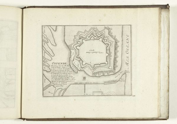
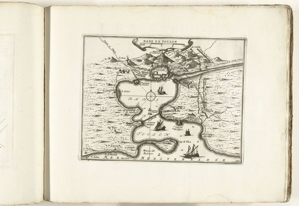
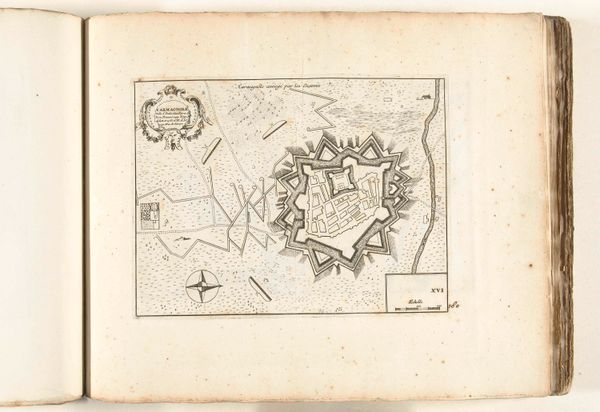
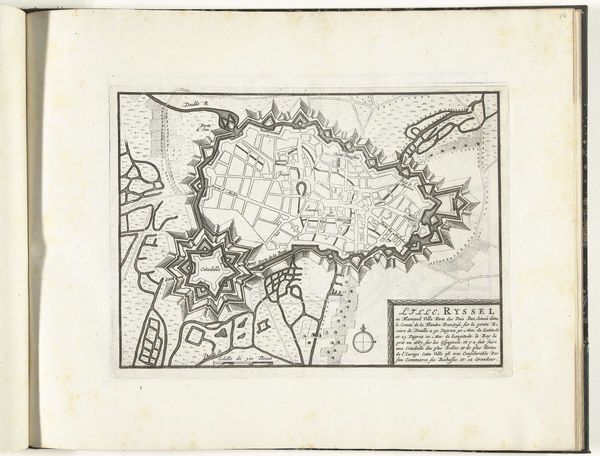
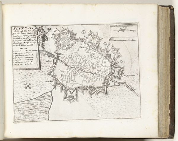
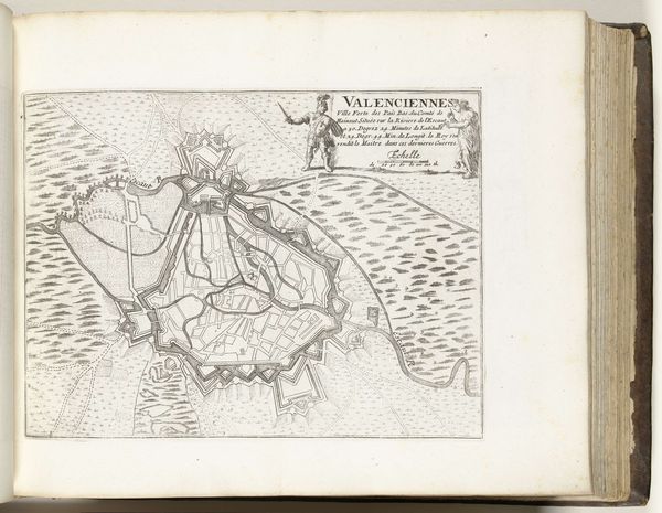
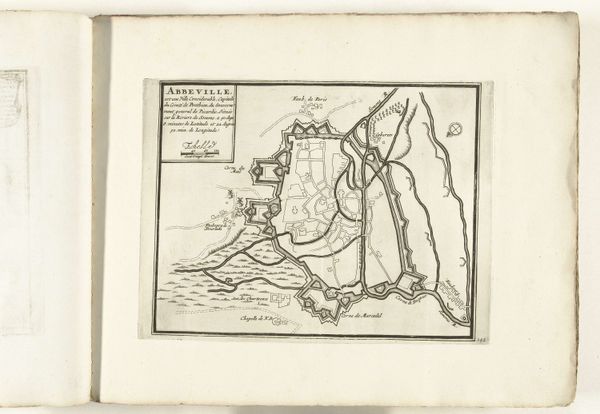
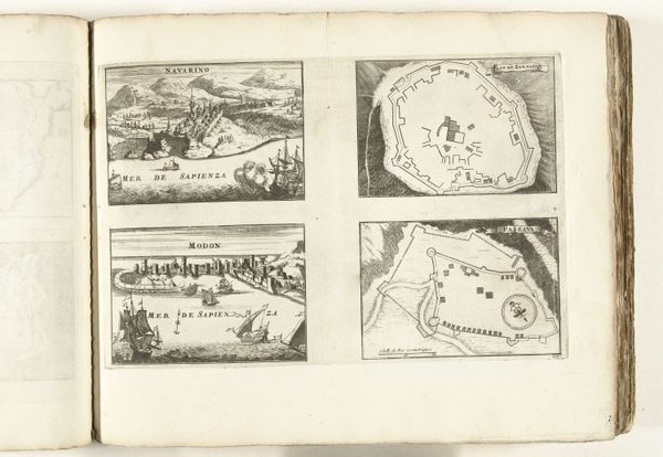
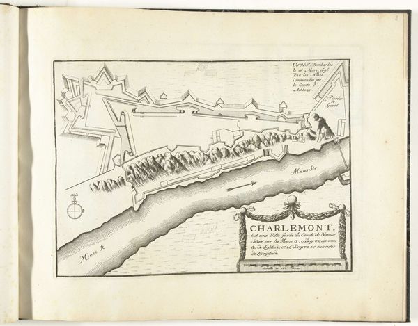
This is an anonymous engraving from around 1693 to 1696, a period when cartography served both practical and political purposes. Maps like this one of Mons, now in Belgium, weren't just about navigation. They were tools of power, defining territories and asserting control during a time of frequent conflicts. Consider the cultural context: the late 17th century was a period marked by the expansion of European powers and the rise of military engineering. This map reflects those priorities, emphasizing Mons's fortifications. Each line and angle speaks to the city's strategic importance. But maps also have blind spots. Who is included and excluded from this representation of space? How does this formal depiction of Mons relate to the everyday experiences of its inhabitants? We might also reflect on how the act of mapping itself is an exercise of power, one that flattens complex realities into a single, authorized view. This image invites us to reflect on how knowledge and power intersect, shaping not only our understanding of the world but also the world itself.
Comments
No comments
Be the first to comment and join the conversation on the ultimate creative platform.