drawing, print, paper, ink, engraving
#
drawing
#
aged paper
#
toned paper
#
baroque
# print
#
sketch book
#
landscape
#
paper
#
personal sketchbook
#
ink
#
ink drawing experimentation
#
pen-ink sketch
#
pen work
#
sketchbook drawing
#
cityscape
#
storyboard and sketchbook work
#
sketchbook art
#
engraving
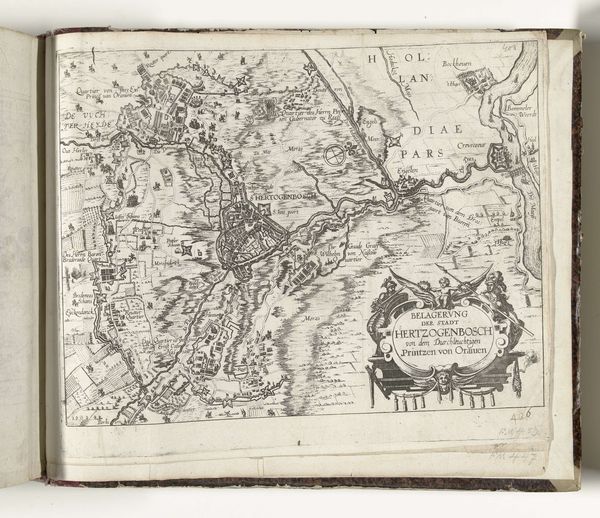
Dimensions: height 220 mm, width 283 mm
Copyright: Rijks Museum: Open Domain
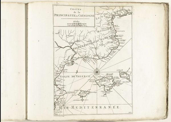
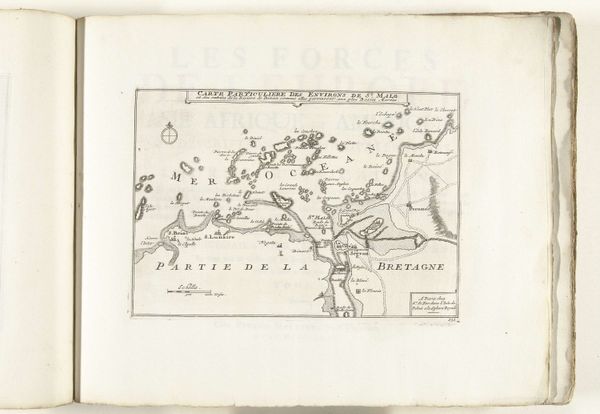
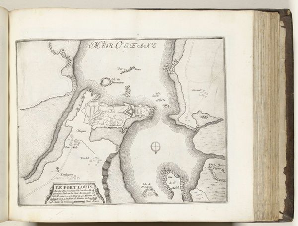
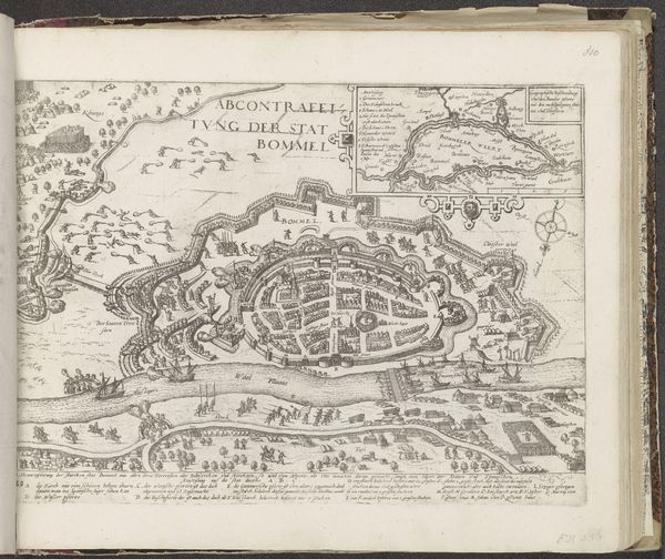
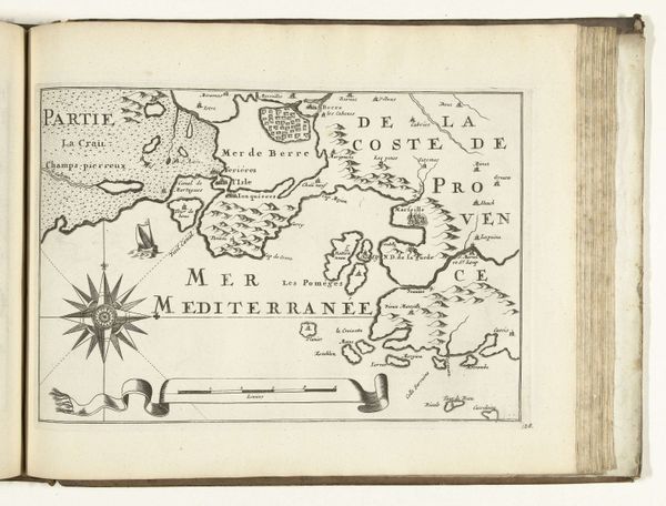
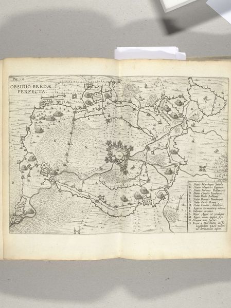
This is a map of the Flemish coast between Dunkirk and Nieuwpoort, made in 1726 by an anonymous artist. Cartography served as an important tool in the 18th century, a time when geographical knowledge translated to political and military power. This map, with its meticulous rendering of coastal towns, waterways, and fortifications, reflects the strategic importance of this region. Created during a period of shifting European power dynamics, the map embodies a potent blend of art, science, and politics. The elaborate cartouche, featuring ornate scrollwork, indicates its intended audience within the upper echelons of society. The map provided essential information for military planning and territorial administration. To fully understand this map, historians consult various sources, including military archives, political correspondence, and period gazetteers. These resources offer a detailed understanding of the social and institutional context in which this map was not only created, but used.
Comments
No comments
Be the first to comment and join the conversation on the ultimate creative platform.
More like this