print, engraving
# print
#
pen sketch
#
asian-art
#
old engraving style
#
landscape
#
geometric
#
line
#
cityscape
#
history-painting
#
engraving
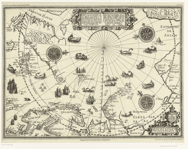
Dimensions: height 483 mm, width 839 mm
Copyright: Rijks Museum: Open Domain
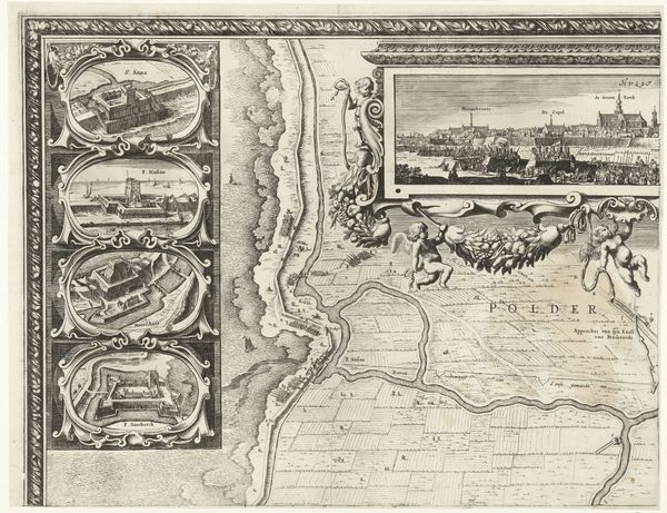
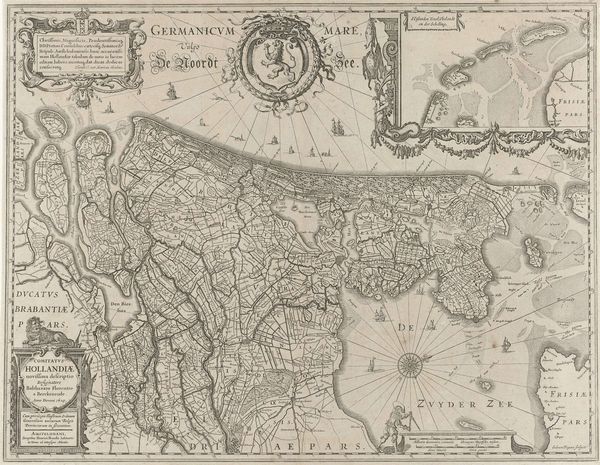
Editor: This engraving, "Kaart van het eiland Terceira," created between 1584 and 1611 by Baptista van Doetechum, is incredibly detailed. It depicts a city on an island, complete with ships and geometric land divisions. What strikes me most is the tension between the orderliness of the city grid and the untamed depiction of the surrounding sea and mountains. What stands out to you? Curator: The tension you observe is indeed palpable, but I see it as less of a contrast and more of a visual representation of power dynamics at play during the early modern period. This map isn't just a geographical depiction; it’s a statement of colonial ambition and control. Who do you think this map was made for, and how might its intended audience affect our reading of it? Editor: That's a great point! Considering it was made during a time of intense exploration and colonization, it likely served as a tool for the Dutch or other European powers. Seeing the island laid out so precisely probably gave them a sense of ownership and strategic advantage. Curator: Precisely! Maps like these facilitated the exploitation of resources and people, reducing complex societies and environments to easily digestible, controllable images. Note the stark contrast between the orderly cultivated lands and the 'empty' sea. How does the depiction of land and water serve colonial purposes? Editor: The emphasis on land reinforces the idea of claiming and dividing territories. The water, less defined, almost acts as a highway for ships facilitating that control. I hadn't considered how such technical drawings could reveal these underlying power dynamics. Curator: These maps participated in constructing a world where certain perspectives, those of the colonizers, were privileged. Understanding that lens allows us to critically examine the legacy of colonialism that continues to shape our world today. Editor: That's so insightful. I'll definitely look at maps differently from now on. Thank you.
Comments
No comments
Be the first to comment and join the conversation on the ultimate creative platform.
More like this