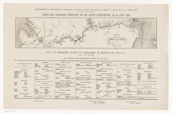
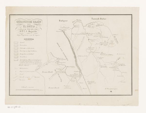
lithograph, print, paper
lithograph
paper
geometric
watercolour illustration
decorative-art
coin
Dimensions: height 360 mm, width 452 mm
Copyright: Rijks Museum: Open Domain
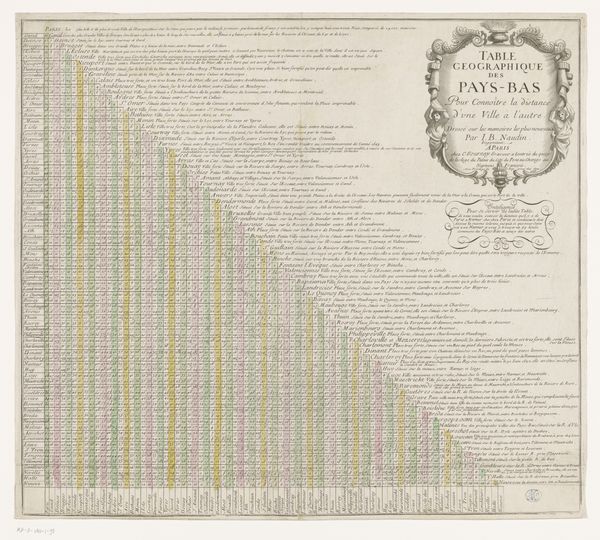
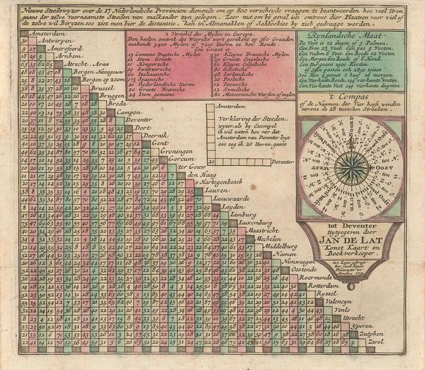
Editor: Here we have "Afstandentabel en overzicht van de gangbare munten, 1838," a lithograph and print on paper by J. Vürtheim & Co. It almost looks like a very elaborate board game. All those little squares and a central map ringed with coins...it's definitely intriguing! What do you make of it all? Curator: Oh, I see a window into a world obsessed with precision, practicality, and burgeoning nationalism! The table presents distances between cities in the Netherlands, interwoven with a currency conversion guide. The very structure whispers of order and control, almost a dream of taming geographical and financial uncertainty. Does the map feel slightly like a gilded cage to you, editor? It does to me. Editor: A gilded cage, that's a very interesting expression, especially in a period of burgeoning nationalism. Can you expand? Curator: The map shows how they view their home land as "wealth," not as home. It speaks to the spirit of the Biedermeier era. The lithograph, in that delicate style of decorative art, wasn't meant for high art circles but as a tool for merchants or travelers. See the almost naive rendering of the map? The map gives a sense of national pride intertwined with everyday practicalities. It reflects a yearning for security. Editor: So it's not *just* decorative, but very much a product of its time? Curator: Exactly. In today's digital world of instant currency conversion, something like this feels wonderfully obsolete, and that gives it charm. I like its combination of art, function and history! Editor: Absolutely. Thanks, that gives me a whole new appreciation for its many layers. Curator: My pleasure! Always exciting to see how history and art playfully engage.
Comments
No comments
Be the first to comment and join the conversation on the ultimate creative platform.